
2017 Map of Norland
USGS Topo · Published 2017About this map
Adelaide and Norland anchor this high desert landscape in southern Idaho, where the intersection of Lincoln Co and Minidoka Co defines the local jurisdiction. The map reveals a highly structured agricultural grid, where the landscape is meticulously divided by numbered routes such as 1600 N Rd and 1000 N Rd. This geometry is interrupted only by the diagonal path of a major transportation artery through the center of the quadrangle, linking the small settlements. The importance of the regional survey system is evident in the prominence of Meridian Rd, which serves as a primary north-south axis for the surrounding farmland. While the terrain appears relatively flat, the dense network of local roads like Crystal Rd suggests a landscape fully integrated into the regional irrigation and farming economy of the early twenty-first century.
Find a feature on this map
32 named features on this map. Tap any name to fly to it.
Don’t see what you’re looking for? This feature index may not catch every label — zoom into the map to look around manually.
Map Details
Editions of this 2017 Norland Map
This is the sole edition of this map. No revisions or reprints were ever made.
Other maps of this area

1954 · Pocatello
USGS Topo · 1:250,000

1958 · Pocatello
USGS Topo · 1:250,000
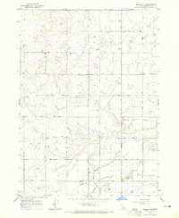
1964 · Burley NE
USGS Topo · 1:24,000
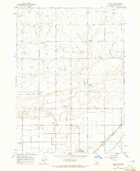
1964 · Rupert NW
USGS Topo · 1:24,000
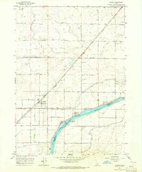
1964 · Acequia
USGS Topo · 1:24,000
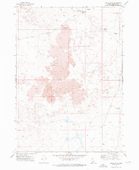
1972 · Shale Butte
USGS Topo · 1:24,000
1972 · Kimama
USGS Topo · 1:24,000
1972 · Community Lake
USGS Topo · 1:24,000
1972 · Max
USGS Topo · 1:24,000
1972 · Norland
USGS Topo · 1:24,000