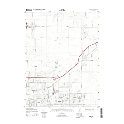
2015 Map of Normal East
USGS Topo · Published 2015About this map
The expanding suburbs of Normal and Bloomington dominate the southern portion of this landscape, where residential developments like Greenbriar, North Pointe, and Eagle Ridge meet the northern reaches of the Illinois State Univ campus. Moving north, the suburban grid yields to the drainage basins of Big Slough and Sixmile Cr, revealing a classic Illinois agricultural pattern of section-line roads and scattered farmsteads. The influence of historic transportation is evident as Old Route 66 cuts diagonally across the terrain toward Towanda, paralleling the modern interstate corridor. Near the village of Hudson, small family and community burial grounds such as Havens Cem and Hudson Cem provide important reference points for genealogists, while the northern edge of the map features the recreational waters of Lake Bloomington and the winding course of Money Cr.
Find a feature on this map
134 named features on this map. Tap any name to fly to it.
Don’t see what you’re looking for? This feature index may not catch every label — zoom into the map to look around manually.
Map Details
Editions of this 2015 Normal East Map
This is the sole edition of this map. No revisions or reprints were ever made.
Other maps of this area

1926 · Normal
USGS Topo · 1:62,500

1927 · Danvers
USGS Topo · 1:62,500

1930 · Danvers
USGS Topo · 1:62,500

1930 · Normal
USGS Topo · 1:62,500

1949 · Mc Lean
USGS Topo · 1:62,500

1951 · McLean
USGS Topo · 1:62,500

1951 · Le Roy
USGS Topo · 1:62,500

1958 · Peoria
USGS Topo · 1:250,000

1961 · Peoria
USGS Topo · 1:250,000

1963 · Peoria
USGS Topo · 1:250,000