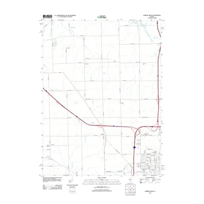
2012 Map of Normal West
USGS Topo · Published 2012About this map
Yuton serves as a central point in this transition from the suburban edge of Bloomington to the agricultural expanses of McLean County. The landscape is heavily defined by institutional and agricultural land use, including the Heartland Community College campus and the extensive State University Farm complex. This 2012 survey captures the modern road grid established atop traditional farm boundaries, where family legacies are preserved in names like Ropp Farms and a high concentration of small burial grounds including Denman Cem, Troyer Cem, and Kaufman Cem.
Find a feature on this map
91 named features on this map. Tap any name to fly to it.
Don’t see what you’re looking for? This feature index may not catch every label — zoom into the map to look around manually.
Map Details
Editions of this 2012 Normal West Map
This is the sole edition of this map. No revisions or reprints were ever made.
Other maps of this area

1926 · Normal
USGS Topo · 1:62,500

1927 · Danvers
USGS Topo · 1:62,500

1930 · Danvers
USGS Topo · 1:62,500

1930 · Normal
USGS Topo · 1:62,500

1949 · Mc Lean
USGS Topo · 1:62,500

1951 · McLean
USGS Topo · 1:62,500

1951 · Le Roy
USGS Topo · 1:62,500

1958 · Peoria
USGS Topo · 1:250,000

1961 · Peoria
USGS Topo · 1:250,000

1963 · Peoria
USGS Topo · 1:250,000