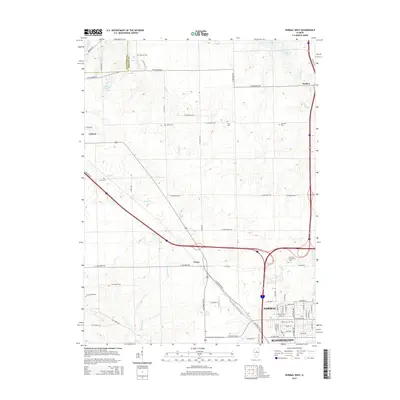
2015 Map of Normal West
USGS Topo · Published 2015About this map
The western edges of Normal and Bloomington define the southeastern corner of this 2015 study, showcasing a landscape where urban expansion meets the established agricultural grid of McLean County. Modern landmarks like Heartland Community College sit alongside older transit corridors such as Old Route 150 and Old Peoria Rd. The map reveals a high concentration of small, family-named burial grounds, including Denman Cem, Troyer Cem, and Ropp Cem, which offer significant value for genealogical research in this part of Illinois.
Find a feature on this map
72 named features on this map. Tap any name to fly to it.
Don’t see what you’re looking for? This feature index may not catch every label — zoom into the map to look around manually.
Map Details
Editions of this 2015 Normal West Map
This is the sole edition of this map. No revisions or reprints were ever made.
Other maps of this area

1926 · Normal
USGS Topo · 1:62,500

1927 · Danvers
USGS Topo · 1:62,500

1930 · Danvers
USGS Topo · 1:62,500

1930 · Normal
USGS Topo · 1:62,500

1949 · Mc Lean
USGS Topo · 1:62,500

1951 · McLean
USGS Topo · 1:62,500

1951 · Le Roy
USGS Topo · 1:62,500

1958 · Peoria
USGS Topo · 1:250,000

1961 · Peoria
USGS Topo · 1:250,000

1963 · Peoria
USGS Topo · 1:250,000