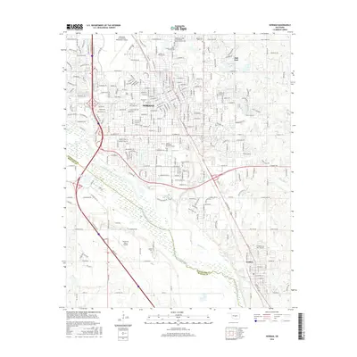
2016 Map of Norman
USGS Topo · Published 2016About this map
The Univ of Oklahoma Norman Campus anchors this 2016 view of the central Oklahoma plains, where the expanding urban footprint of Norman meets the riparian corridors of the Canadian River. The landscape reveals a dense network of suburban development and academic infrastructure, bordered by the smaller satellite community of Hall Park to the northeast and Noble to the south. Significant local history is preserved in the distribution of regional burial grounds, including the Saint Joseph's Catholic Church Cem, Memory Gardens Cem, and the more rural Adkins Cem near the riverbanks.
Find a feature on this map
51 named features on this map. Tap any name to fly to it.
Don’t see what you’re looking for? This feature index may not catch every label — zoom into the map to look around manually.
Map Details
Editions of this 2016 Norman Map
This is the sole edition of this map. No revisions or reprints were ever made.
Other maps of this area

1892 · Moore
USGS Topo · 1:62,500

1893 · Norman
USGS Topo · 1:62,500

1893 · Oklahoma City
USGS Topo · 1:62,500

1898 · Purcell
USGS Topo · 1:125,000

1904 · Chickasha
USGS Topo · 1:125,000

1925 · Norman NO 2
USGS Topo · 1:24,000

1934 · Moore
USGS Topo · 1:62,500

1936 · Norman
USGS Topo · 1:62,500

1938 · Moore
USGS Topo · 1:62,500

1954 · Oklahoma City
USGS Topo · 1:250,000