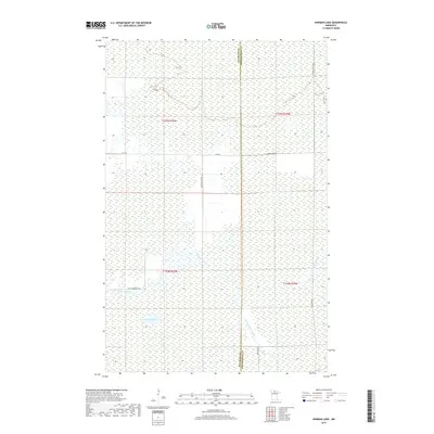
2019 Map of Norman Lake
USGS Topo · Published 2019About this map
The Beltrami Co Koochiching Co boundary bisects this remote wetland landscape in northern Minnesota, where the drainage patterns of the Tamarac River and its tributaries define the terrain. The central Norman Lake is surrounded by an extensive network of marshes and saturated soils, illustrating the complex hydrography of the region. Local infrastructure is minimal, consisting of rural routes like Steel Bridge Rd Ne and Rice Paddy Rd Ne that navigate the waterlogged environment. To the east, the Little Tamarac River and the Lost River wind through the eastern townships, while labels like Forrest Road 96 suggest a landscape primarily utilized for timber management or remote access. This map provides a clear view of the hydrological connections between these northern water bodies before they flow toward larger systems.
Find a feature on this map
14 named features on this map. Tap any name to fly to it.
Don’t see what you’re looking for? This feature index may not catch every label — zoom into the map to look around manually.
Map Details
Editions of this 2019 Norman Lake Map
This is the sole edition of this map. No revisions or reprints were ever made.
Other maps of this area
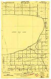
1919 · Fox
USGS Topo · 1:62,500
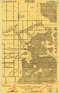
1919 · Norden
USGS Topo · 1:62,500
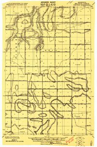
1919 · Knutson
USGS Topo · 1:62,500

1954 · Roseau
USGS Topo · 1:250,000

1957 · Roseau
USGS Topo · 1:250,000

1958 · Roseau
USGS Topo · 1:250,000
1973 · Ludlow Lookout Tower
USGS Topo · 1:24,000
1973 · Norman Lake SE
USGS Topo · 1:24,000
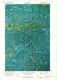
1973 · Norman Lake
USGS Topo · 1:24,000
1973 · Wayland SW
USGS Topo · 1:24,000