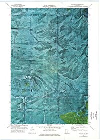
1973 Map of Wayland SW
USGS Topo · Published 1976About this map
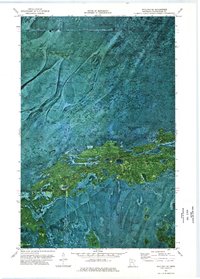
Pine Island State Forest dominates this northern Minnesota landscape, where the shifting boundaries of Beltrami, Lake of the Woods, and Koochiching counties converge. The orthophotomap format preserves the visual character of the muskeg and timbered wetlands in the early 1970s, revealing a landscape defined more by natural drainage and vegetation patterns than by permanent human settlement. To the south, the boundary of the Red Lake Indian Reservation cuts across the terrain, marking a distinct line of land administration. Transportation in this remote area is primarily seasonal, evidenced by the presence of a Winter Trail cutting through the northern reaches, a vital corridor for travel when the ground is frozen. This map captures the region before modern development, showing the intricate network of natural clearings and dense forest cover typical of the Big Bog area.
Find a feature on this map
6 named features on this map. Tap any name to fly to it.
Don’t see what you’re looking for? This feature index may not catch every label — zoom into the map to look around manually.
Map Details
Editions of this 1973 Wayland SW Map
This is the sole edition of this map. No revisions or reprints were ever made.
Other maps of this area

1919 · Fox
USGS Topo · 1:62,500

1919 · Norden
USGS Topo · 1:62,500

1919 · Knutson
USGS Topo · 1:62,500

1954 · Roseau
USGS Topo · 1:250,000

1957 · Roseau
USGS Topo · 1:250,000

1958 · Roseau
USGS Topo · 1:250,000
1973 · Ludlow Lookout Tower
USGS Topo · 1:24,000
1973 · Norman Lake
USGS Topo · 1:24,000
1973 · The Pines
USGS Topo · 1:24,000
1973 · Wayland SE
USGS Topo · 1:24,000