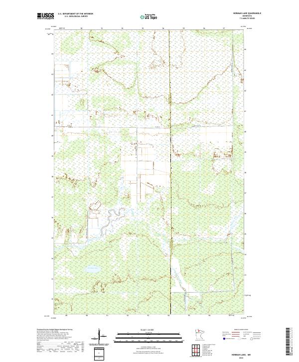
2022 Map of Norman Lake
USGS Topo · Published 2022About this map
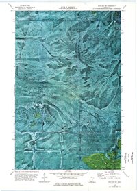
The Tamarac River system defines the hydrology of this remote wetland landscape on the boundary between Beltrami and Koochiching counties. The northern reaches are characterized by a dense grid of forestry and service roads, including Forrest Road 96 and Co Rd 40, which navigate through extensive swamp and marshland. To the south, the terrain centers on Norman Lake and the meandering path of the Little Tamarac River. The presence of Rice Paddy Rd NE suggests localized agricultural land use within this predominantly aquatic environment. This modern survey provides an exact record of the shifting channels of the Lost River and the rural road network, including Steel Bridge Rd NE and Balsiger Rd, used to traverse the Minnesota wilderness.
Find a feature on this map
14 named features on this map. Tap any name to fly to it.
Don’t see what you’re looking for? This feature index may not catch every label — zoom into the map to look around manually.
Map Details
Editions of this 2022 Norman Lake Map
This is the sole edition of this map. No revisions or reprints were ever made.
Other maps of this area

1919 · Fox
USGS Topo · 1:62,500

1919 · Norden
USGS Topo · 1:62,500

1919 · Knutson
USGS Topo · 1:62,500

1954 · Roseau
USGS Topo · 1:250,000

1957 · Roseau
USGS Topo · 1:250,000

1958 · Roseau
USGS Topo · 1:250,000
1973 · Ludlow Lookout Tower
USGS Topo · 1:24,000
1973 · Norman Lake SE
USGS Topo · 1:24,000
1973 · Norman Lake
USGS Topo · 1:24,000
1973 · Wayland SW
USGS Topo · 1:24,000