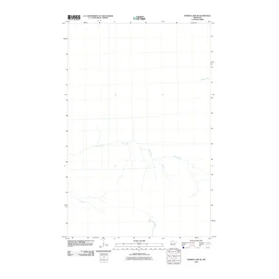
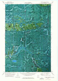
2010 Map of Norman Lake NE
USGS Topo · Published 2010About this map
Sturgeon River flows through this northern Minnesota landscape, where the hydrography is defined by a network of winding waterways. The low-lying terrain of Koochiching County is further shaped by the presence of the Tamarac River and the appropriately named Lost River, which meanders across the southern portion of the quadrangle. This 2010 survey reflects a largely undeveloped wilderness area, showing the natural drainage patterns of the boreal forest and peatlands before these waters reach larger northern basins. The scarcity of named landmarks and roads highlights the remote character of this specific reach of the Minnesota wilderness.
Find a feature on this map
3 named features on this map. Tap any name to fly to it.
Don’t see what you’re looking for? This feature index may not catch every label — zoom into the map to look around manually.
Map Details
Editions of this 2010 Norman Lake NE Map
This is the sole edition of this map. No revisions or reprints were ever made.
Other maps of this area

1919 · Lundgren
USGS Topo · 1:62,500

1919 · Norden
USGS Topo · 1:62,500

1919 · I
USGS Topo · 1:62,500

1954 · Roseau
USGS Topo · 1:250,000

1957 · Roseau
USGS Topo · 1:250,000

1958 · Roseau
USGS Topo · 1:250,000
1973 · Ridge SW
USGS Topo · 1:24,000
1973 · Ridge NW
USGS Topo · 1:24,000
1973 · Norman Lake SE
USGS Topo · 1:24,000
1973 · Norman Lake
USGS Topo · 1:24,000