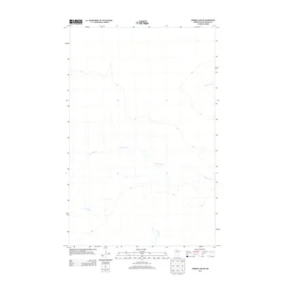
2013 Map of Norman Lake NE
USGS Topo · Published 2013About this map
Tamarac River meanders across the center of this 2013 survey of northeastern Koochiching County, defining the drainage patterns of this remote northern Minnesota landscape. The area is characterized by its significant hydrological features, where the Sturgeon River enters from the east and the Lost River flows through the southern reaches. This modern U.S. Geological Survey topographic study documents the region's wilderness character just after the turn of the 21st century, showing a terrain largely defined by its natural watercourses and sparse development. It serves as a clear record of the undisturbed boreal hydrology before any further environmental shifts or infrastructure changes in this portion of the North Woods.
Find a feature on this map
3 named features on this map. Tap any name to fly to it.
Don’t see what you’re looking for? This feature index may not catch every label — zoom into the map to look around manually.
Map Details
Editions of this 2013 Norman Lake NE Map
This is the sole edition of this map. No revisions or reprints were ever made.
Other maps of this area
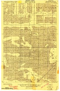
1919 · Lundgren
USGS Topo · 1:62,500
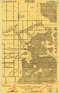
1919 · Norden
USGS Topo · 1:62,500
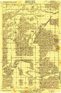
1919 · I
USGS Topo · 1:62,500

1954 · Roseau
USGS Topo · 1:250,000

1957 · Roseau
USGS Topo · 1:250,000

1958 · Roseau
USGS Topo · 1:250,000
1973 · Ridge SW
USGS Topo · 1:24,000
1973 · Ridge NW
USGS Topo · 1:24,000
1973 · Norman Lake SE
USGS Topo · 1:24,000
1973 · Norman Lake
USGS Topo · 1:24,000