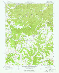
1958 Map of Norman
USGS Topo · Published 1959About this map
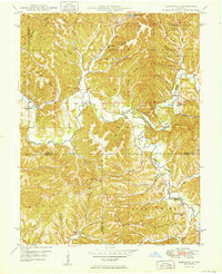
Norman and Zelma anchor this 1950s survey of Lawrence County, depicting a landscape where small rural settlements are interspersed with the dense timber of the Hoosier National Forest. The terrain is defined by the winding course of Salt Creek in the northwest, which creates a complex drainage pattern of ridges and hollows that historically dictated the placement of roads and homesteads. Further north, the small community of Yellowstone and the locality of Hunter sit near the Monroe County line, illustrating the sparsely populated nature of the area during this era. The map reveals the relationship between the natural forest boundaries and the established road networks connecting these isolated Indiana communities.
Find a feature on this map
5 named features on this map. Tap any name to fly to it.
Don’t see what you’re looking for? This feature index may not catch every label — zoom into the map to look around manually.
Map Details
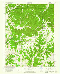
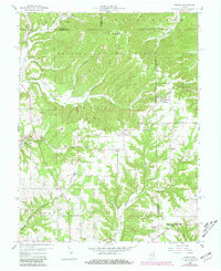
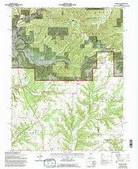
Editions of this 1958 Norman Map
4 editions found
Other maps of this area

1934 · Bedford
USGS Topo · 1:48,000

1937 · Bedford
USGS Topo · 1:62,500

1942 · Franklin
USGS Topo · 1:125,000

1947 · Allens Creek
USGS Topo · 1:24,000

1947 · Elkinsville
USGS Topo · 1:24,000
1950 · Elkinsville
USGS Topo · 1:24,000

1953 · Indianapolis
USGS Topo · 1:250,000

1956 · Indianapolis
USGS Topo · 1:250,000

1956 · Story
USGS Topo · 1:24,000

1956 · Vincennes
USGS Topo · 1:250,000