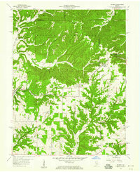
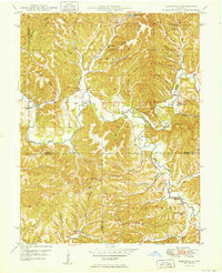
1958 Map of Norman
USGS Topo · Published 1976About this map
Hoosier National Forest lands dominate the northern half of this mid-century landscape, where the ridges of southern Indiana are carved by an intricate network of waterways like Salt Creek, Henderson Creek, and Leatherwood Creek. The small settlement of Norman sits at a geographic crossroads in the east, served by the Chicago Milwaukee St Paul and Pacific railroad, which threads through the valleys. The map reveals a deeply rooted rural community evidenced by numerous family-named landmarks and country congregations, including the Shady Springs Tabernacle and Hickory Grove Ch. To the south, the terrain transitions into the more cleared agricultural lands of Shawswick and Pleasant Run, where Mitchell Cem and Mundell Ch stand as vital markers for local genealogists and historians tracking family lineages in the area around Hunter.
Find a feature on this map
31 named features on this map. Tap any name to fly to it.
Don’t see what you’re looking for? This feature index may not catch every label — zoom into the map to look around manually.
Map Details
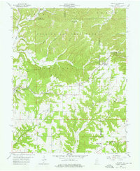
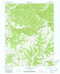
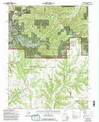
Editions of this 1958 Norman Map
4 editions found
Other maps of this area

1934 · Bedford
USGS Topo · 1:48,000

1937 · Bedford
USGS Topo · 1:62,500

1942 · Franklin
USGS Topo · 1:125,000

1947 · Allens Creek
USGS Topo · 1:24,000

1947 · Elkinsville
USGS Topo · 1:24,000
1950 · Elkinsville
USGS Topo · 1:24,000

1953 · Indianapolis
USGS Topo · 1:250,000

1956 · Indianapolis
USGS Topo · 1:250,000

1956 · Story
USGS Topo · 1:24,000

1956 · Vincennes
USGS Topo · 1:250,000