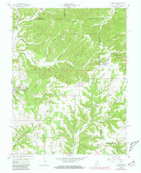
1958 Map of Norman
USGS Topo · Published 1981About this map
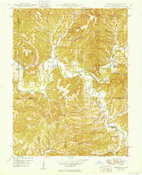
Norman and Zelma serve as central points in this mid-century survey of rural Indiana, where the landscape is defined by the intersection of three counties—Monroe, Lawrence, and Jackson. Much of the northern terrain is under the stewardship of the Hoosier National Forest, showing a heavily dissected topography drained by Salt Creek and Yellowstone Creek. Local history is deeply etched into the hillsides through the presence of numerous country churches, including Hickory Grove Ch and Mundell Ch, alongside family-named burial sites such as Faubion Cem.
Find a feature on this map
35 named features on this map. Tap any name to fly to it.
Don’t see what you’re looking for? This feature index may not catch every label — zoom into the map to look around manually.
Map Details
Editions of this 1958 Norman Map
4 editions found
Other maps of this area

1934 · Bedford
USGS Topo · 1:48,000

1937 · Bedford
USGS Topo · 1:62,500

1942 · Franklin
USGS Topo · 1:125,000

1947 · Allens Creek
USGS Topo · 1:24,000

1947 · Elkinsville
USGS Topo · 1:24,000
1950 · Elkinsville
USGS Topo · 1:24,000

1953 · Indianapolis
USGS Topo · 1:250,000

1956 · Indianapolis
USGS Topo · 1:250,000

1956 · Story
USGS Topo · 1:24,000

1956 · Vincennes
USGS Topo · 1:250,000