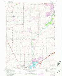
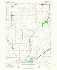
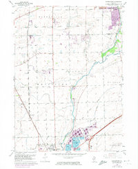
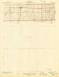
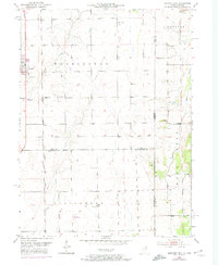
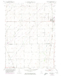
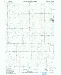
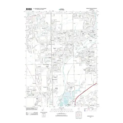
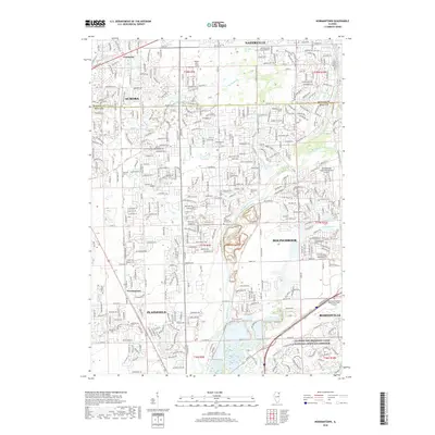
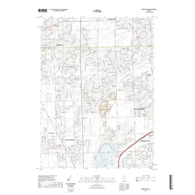
1962 Map of Normantown
USGS Topo · Published 1981About this map
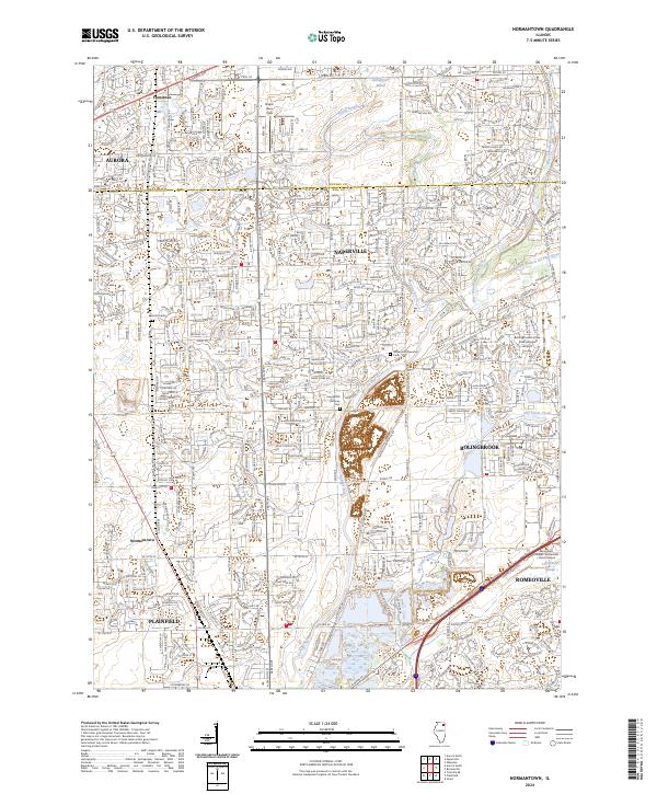
Elgin Joliet And Eastern railroad tracks define the western corridor of this landscape, connecting the small communities of Frontenac and Normantown. This 1962 survey reveals a region in transition, where established rural life—centered on the Wheatland Sch and Brethren Ch—meets the early expansion of aviation with several private airfields, including Matter Airport, Naper Landing Strip, and Clow Airport.
Find a feature on this map
37 named features on this map. Tap any name to fly to it.
Don’t see what you’re looking for? This feature index may not catch every label — zoom into the map to look around manually.
Map Details
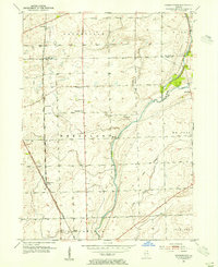
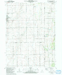
Editions of this 1962 Normantown Map
3 editions found
Historical Maps of Aurora Through Time
24 maps found
1929 Brisbane
Will County, IL
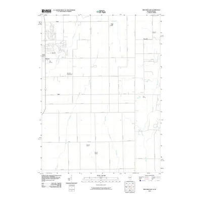
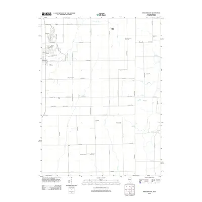
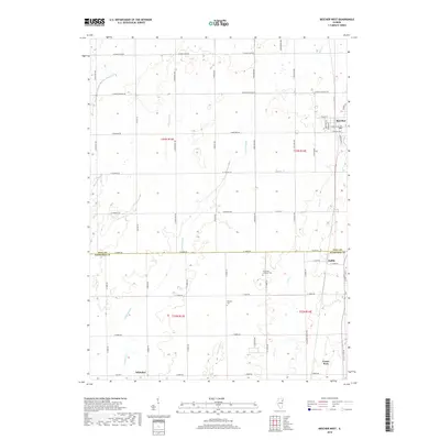
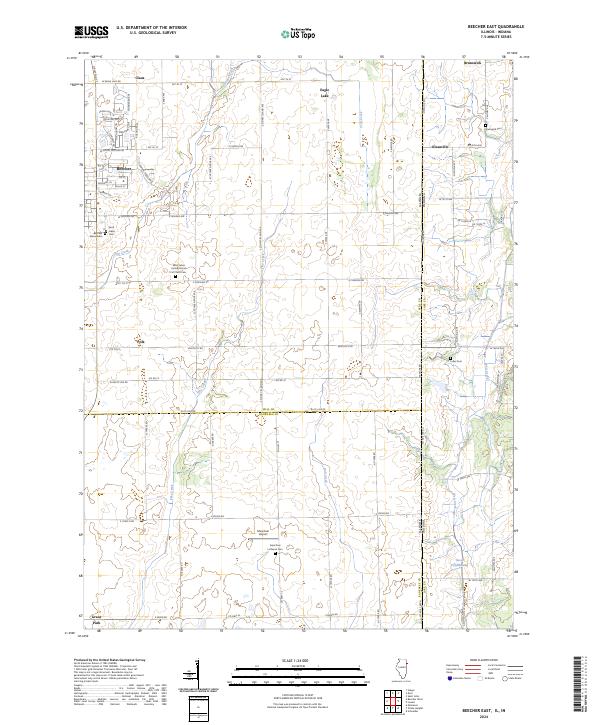
1953 Beecher East
Will County, IL
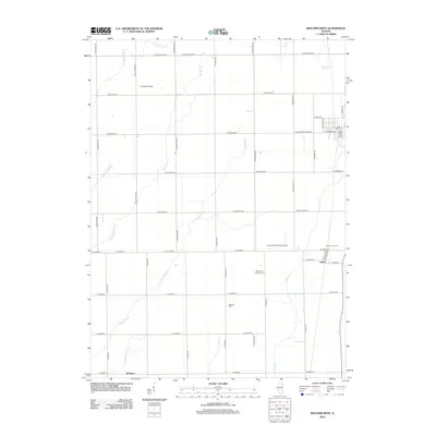
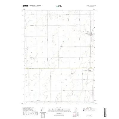
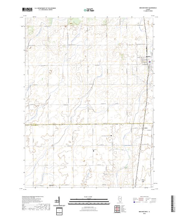
1953 Beecher West
Will County, IL
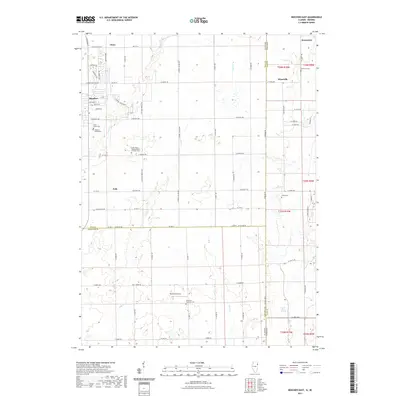
1953 Normantown
Will County, IL
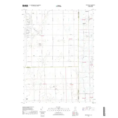
1962 Normantown
Will County, IL
1990 Beecher East
Will County, IL
1990 Beecher West
Will County, IL

1993 Normantown
Will County, IL
2010 Beecher East
Will County, IL
2012 Beecher East
Will County, IL
2012 Beecher West
Will County, IL
2012 Normantown
Will County, IL
2015 Beecher East
Will County, IL
2015 Beecher West
Will County, IL
2015 Normantown
Will County, IL
2018 Beecher East
Will County, IL
2018 Beecher West
Will County, IL
2018 Normantown
Will County, IL
2021 Beecher East
Will County, IL
2021 Beecher West
Will County, IL
2021 Normantown
Will County, IL
2024 Beecher East
Will County, IL
2024 Beecher West
Will County, IL
2024 Normantown
Will County, IL