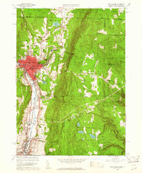
1960 Map of North Adams
USGS Topo · Published 1961About this map
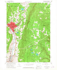
Industrial centers and forested peaks define this area of the Northern Berkshires during the early 1960s. The city of North Adams serves as the focal point, where the Hoosic River and the Boston and Maine Railroad converge to support established manufacturing hubs like Zylonite and Renfrew. The map records a dense network of local institutions, including the St Josephs High Sch and State College, alongside residential pockets in Houghtonville and Briggsville.
Find a feature on this map
59 named features on this map. Tap any name to fly to it.
Don’t see what you’re looking for? This feature index may not catch every label — zoom into the map to look around manually.
Map Details
Editions of this 1960 North Adams Map
2 editions found
Other maps of this area

1886 · Greylock
USGS Topo · 1:62,500

1886 · Hawley
USGS Topo · 1:62,500

1889 · Wilmington
USGS Topo · 1:62,500

1890 · Hawley
USGS Topo · 1:62,500

1891 · Wilmington
USGS Topo · 1:62,500

1891 · Greylock
USGS Topo · 1:62,500

1893 · Greylock
USGS Topo · 1:62,500

1894 · Hawley
USGS Topo · 1:62,500

1898 · Bennington
USGS Topo · 1:62,500

1898 · Greylock
USGS Topo · 1:62,500