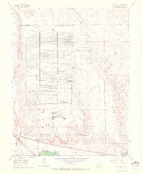
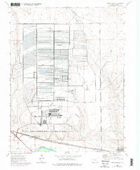
1960 Map of North Avondale
USGS Topo · Published 1972About this map
The Pueblo Ordnance Depot dominates this landscape, its vast grid of storage bunkers and internal rail lines occupying much of the high ground north of the Arkansas River. Established in the early 1940s, the facility's specialized infrastructure is shown here in detail, from the military reservation boundaries to the individual loading docks. To the south, the community of North Avondale serves as a small residential pocket near the Excelsior Sch, where the local economy follows the river and the dual rail lines of the Atchison Topeka and Santa Fe and Missouri Pacific. The land between the depot and the river is etched by the winding course of Chico Creek and Haynes Creek, while the Colorado Canal indicates the importance of irrigation to the agricultural plots that border the military installation.
Find a feature on this map
20 named features on this map. Tap any name to fly to it.
Don’t see what you’re looking for? This feature index may not catch every label — zoom into the map to look around manually.
Map Details
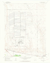
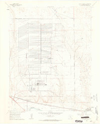
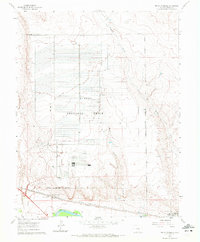
Editions of this 1960 North Avondale Map
5 editions found
Other maps of this area

1891 · Nepesta
USGS Topo · 1:125,000

1893 · Nepesta
USGS Topo · 1:125,000

1904 · Nepesta
USGS Topo · 1:125,000

1954 · Pueblo
USGS Topo · 1:250,000

1957 · Pueblo
USGS Topo · 1:250,000

1958 · Pueblo
USGS Topo · 1:250,000

1959 · Highlands Church
USGS Topo · 1:24,000

1959 · North Avondale NE
USGS Topo · 1:24,000
1960 · Nepesta
USGS Topo · 1:24,000
1960 · Boone Hill
USGS Topo · 1:24,000