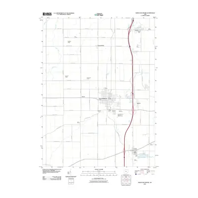
2010 Map of North Baltimore
USGS Topo · Published 2010About this map
North Baltimore serves as the central hub of this Wood County landscape, where the rectilinear grid of the village meets the expansive agricultural plains of northwestern Ohio. The influence of the oil and transportation industries is evident in labels like Tank Farm Rd, Oil Center Rd, and Tank Siding, reflecting the region's history as part of the Great Trenton Oil Field. The terrain is notably flat, punctuated only by subtle elevations such as Callahan Ridge and Howard Ridge.
Find a feature on this map
72 named features on this map. Tap any name to fly to it.
Don’t see what you’re looking for? This feature index may not catch every label — zoom into the map to look around manually.
Map Details
Editions of this 2010 North Baltimore Map
This is the sole edition of this map. No revisions or reprints were ever made.
Other maps of this area

1901 · Bowling Green
USGS Topo · 1:62,500

1903 · Bowling Green
USGS Topo · 1:62,500

1903 · Findlay
USGS Topo · 1:62,500

1909 · Mc Clure
USGS Topo · 1:62,500

1956 · Toledo
USGS Topo · 1:250,000

1958 · Jerry City
USGS Topo · 1:24,000

1958 · Bowling Green South
USGS Topo · 1:24,000

1960 · Bloomdale
USGS Topo · 1:24,000

1960 · North Baltimore
USGS Topo · 1:24,000
1960 · Weston
USGS Topo · 1:24,000