Loading...
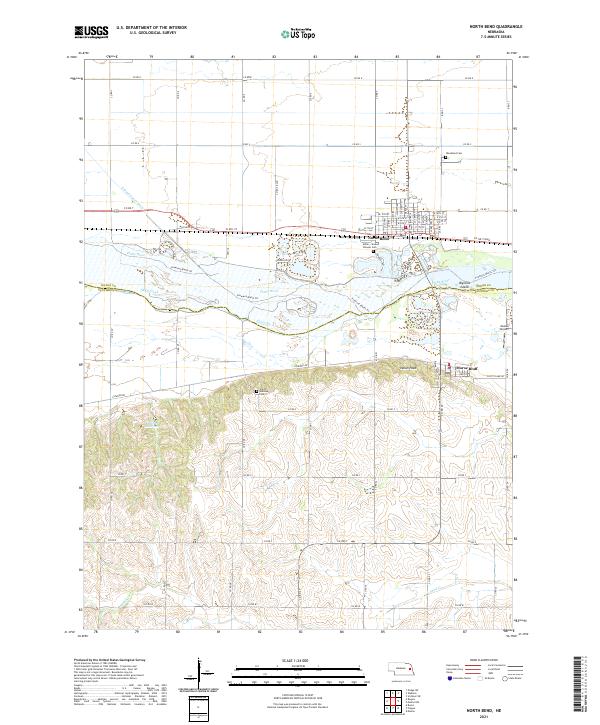
Loading map...2021 Map of North Bend
USGS Topo · Published 2021About this map
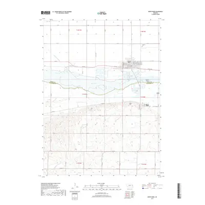
The Platte River carves a complex, braided path across this landscape, separating Dodge and Saunders counties. On the northern bank, the city of North Bend serves as a primary hub of settlement, surrounded by historic sites including the Woodland Cem and the Millar - Sloss Pioneer Cem. South of the river, the terrain shifts into the rising elevations of the Fremont Bluffs Trl, where the village of Morse Bluff sits near the base of the bluffs.
Find a feature on this map
72 named features on this map. Tap any name to fly to it.
Don’t see what you’re looking for? This feature index may not catch every label — zoom into the map to look around manually.
Map Details
Date Portrayed2021
Date Published2021
PublisherU.S. Geological Survey
Map TypeTopographic
Scale1:24,000
Physical Dimensions24 x 29 inches
Editions of this 2021 North Bend Map
This is the sole edition of this map. No revisions or reprints were ever made.
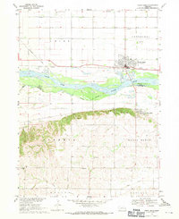
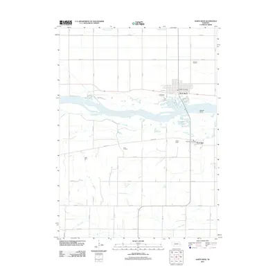
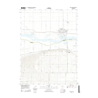
Historical Maps of North Bend Through Time
5 maps found
Featured Locations
Source Details
SourceU.S. Geological Survey
CopyrightPublic Domain