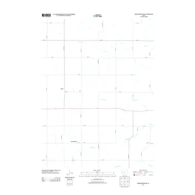
2013 Map of North Branch
USGS Topo · Published 2013About this map
Troublesome Cr and Lone Grove Cr carve through this section of Guthrie County, defining a landscape primarily shaped by modern agriculture and scattered homesteads. The small settlements of North Branch and Nelson sit at the crossroads of the region's section-line road network, providing a look at rural life in the early 21st century. To the north, Van Meter Feedyard reflects the local cattle industry, while Bear Grove sits near the eastern edge of the quadrangle. The map captures the subtle drainage patterns of the Iowa countryside, where Seely Cr, Frost Cr, and Mason Cr thread between the gravel roads and tilled fields. This layout reveals the persistent grid of the original land surveys, even as larger agricultural operations like the feedyard adapt to modern industrial scales.
Find a feature on this map
30 named features on this map. Tap any name to fly to it.
Don’t see what you’re looking for? This feature index may not catch every label — zoom into the map to look around manually.
Map Details
Editions of this 2013 North Branch Map
This is the sole edition of this map. No revisions or reprints were ever made.
Other maps of this area

1954 · Omaha
USGS Topo · 1:250,000

1957 · Omaha
USGS Topo · 1:250,000

1957 · Audubon
USGS Topo · 1:62,500

1958 · Omaha
USGS Topo · 1:250,000

1971 · Coon Rapids South
USGS Topo · 1:24,000

1971 · Viola Center
USGS Topo · 1:24,000

1971 · Bayard
USGS Topo · 1:24,000

1971 · North Branch
USGS Topo · 1:24,000

1971 · Casey
USGS Topo · 1:24,000

1971 · Guthrie Center West
USGS Topo · 1:24,000