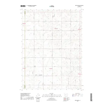
2018 Map of North Branch
USGS Topo · Published 2018About this map
The unincorporated settlement of North Branch serves as the focal point of this Guthrie County landscape, situated where the grid of rural roads meets the winding path of Troublesome Cr. The area is defined by its deep agricultural roots and a network of creeks, including Frost Cr and Lone Grove Cr, that drain the undulating terrain. For those tracing local heritage, several burial grounds provide important genealogical anchors, most notably the Union Township Cem in the north and the Bear Grove Township Cem located near the town center. The map reveals a highly structured township system, with roads like Swift Ave and Chestnut Rd delineating the sections of this farming community. This survey captures the enduring rural character of Seely Township, where the placement of the Pleasant Hill Cem and the flow of Seely Cr reflect a century of land use and community organization.
Find a feature on this map
38 named features on this map. Tap any name to fly to it.
Don’t see what you’re looking for? This feature index may not catch every label — zoom into the map to look around manually.
Map Details
Editions of this 2018 North Branch Map
This is the sole edition of this map. No revisions or reprints were ever made.
Other maps of this area

1954 · Omaha
USGS Topo · 1:250,000

1957 · Omaha
USGS Topo · 1:250,000

1957 · Audubon
USGS Topo · 1:62,500

1958 · Omaha
USGS Topo · 1:250,000

1971 · Coon Rapids South
USGS Topo · 1:24,000

1971 · Viola Center
USGS Topo · 1:24,000

1971 · Bayard
USGS Topo · 1:24,000

1971 · North Branch
USGS Topo · 1:24,000

1971 · Casey
USGS Topo · 1:24,000

1971 · Guthrie Center West
USGS Topo · 1:24,000