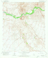
1964 Map of North Butte
USGS Topo · Published 1973About this map
The Gila River corridor dominates this desert landscape, serving as a vital conduit for the Southern Pacific River railroad which tracks along its northern bank. The small settlement of Cochran sits nestled between the river and the rail line, representing a critical point of human activity in an area otherwise defined by desert washes and canyons. Further west, the Ashurst Hayden Dam regulates the river flow, while a complex of Coke Ovens hints at the region's industrial or mining history. The terrain is dramatically punctuated by North Butte and South Butte, which rise above the surrounding drainage networks. Numerous ephemeral waterways like Box O Wash, Donnelly Wash, and Martinez Canyon feed toward the river valley, while the presence of the Donnelly Ranch and various wells indicates the persistent efforts to manage water for livestock in this arid Pinal County environment.
Find a feature on this map
14 named features on this map. Tap any name to fly to it.
Don’t see what you’re looking for? This feature index may not catch every label — zoom into the map to look around manually.
Map Details
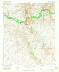
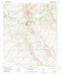
Editions of this 1964 North Butte Map
3 editions found
Other maps of this area

1900 · Florence
USGS Topo · 1:125,000

1902 · Florence
USGS Topo · 1:125,000

1922 · Red Rock No 2
USGS Topo · 1:48,000

1934 · Newman Peak
USGS Topo · 1:125,000

1954 · Mesa
USGS Topo · 1:250,000

1956 · Tucson
USGS Topo · 1:250,000

1957 · Mesa
USGS Topo · 1:250,000

1958 · Mesa
USGS Topo · 1:250,000

1958 · Tucson
USGS Topo · 1:250,000

1959 · Tucson
USGS Topo · 1:250,000