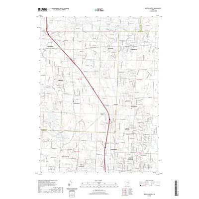
2019 Map of North Canton
USGS Topo · Published 2019About this map
North Canton and the surrounding townships of Green and Mount Pleasant appear here in high detail, showcasing the dense residential and industrial expansion between the major hubs of northern Stark County. The landscape is a network of suburban growth and historical landmarks, notably the Akron-Canton Regional Airport which occupies a significant footprint in the center of the quadrangle. Smaller airfields like Mayfield Airport and several localized water bodies, including Lake Slagle and Willowdale Lake, dot the terrain, illustrating the varied land use of the era.
Find a feature on this map
158 named features on this map. Tap any name to fly to it.
Don’t see what you’re looking for? This feature index may not catch every label — zoom into the map to look around manually.
Map Details
Editions of this 2019 North Canton Map
This is the sole edition of this map. No revisions or reprints were ever made.
Other maps of this area

1901 · Massillon
USGS Topo · 1:62,500

1901 · Canton
USGS Topo · 1:62,500

1903 · Massillon
USGS Topo · 1:62,500

1903 · Canton
USGS Topo · 1:62,500

1903 · Akron
USGS Topo · 1:62,500

1905 · Akron
USGS Topo · 1:62,500

1906 · Kent
USGS Topo · 1:62,500

1950 · Cleveland
USGS Topo · 1:250,000

1951 · Canton
USGS Topo · 1:250,000

1953 · Canton
USGS Topo · 1:250,000