2022 Map of North Cape
USGS Topo · Published 2022About this map
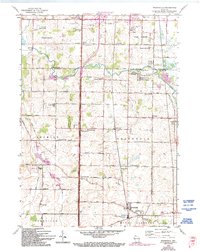
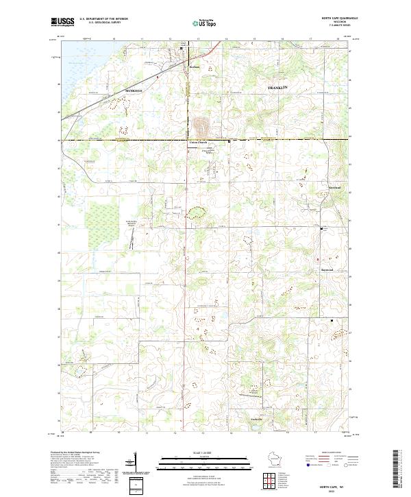
Durham and Union Church sit at the northern edge of this Racine County landscape, where the agricultural grid of Southeast Wisconsin meets the drainage of the Muskego Lake basin. The area is defined by a dense network of country roads, including the historic W Loomis Rd corridor and numerous numerical routes such as 7 Mile Rd and 6 Mile Rd. The map reveals a unique aviation character for a rural district, featuring multiple private and memorial airfields like Aero Estates Airport and Valhalla Airport.
Find a feature on this map
59 named features on this map. Tap any name to fly to it.
Don’t see what you’re looking for? This feature index may not catch every label — zoom into the map to look around manually.
Map Details
Editions of this 2022 North Cape Map
This is the sole edition of this map. No revisions or reprints were ever made.
Historical Maps of Milwaukee County Through Time
8 maps found