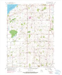
1959 Map of North Cape
USGS Topo · Published 1990About this map
Muskego Lake and its associated spillway dominate the northwestern corner of this landscape, where the marshy lowlands of Norway meet the agricultural stretches of Raymond. A distinct grid of rural roads, many named for their distance such as Threemile Road and Sevenmile Road, organizes the terrain. The map captures a mid-century rural economy transitioning toward aviation, as evidenced by several private runways including the Hunt Landing Strip and Rainbow Airport. This 1959 survey, updated with photo-revisions from the 1970s, preserves the locations of numerous community hubs like Union Church and small rural schoolhouses such as Apple Sch and Willow Edge Sch. Genealogists will find particular value in the clearly marked family and community burial grounds, including Salem Cem and McPherson Cem, alongside landmarks like the Radio Towers and the Root River Canal West Branch.
Find a feature on this map
49 named features on this map. Tap any name to fly to it.
Don’t see what you’re looking for? This feature index may not catch every label — zoom into the map to look around manually.
Map Details
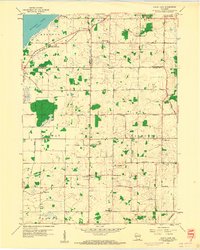
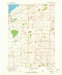
Editions of this 1959 North Cape Map
3 editions found
Other maps of this area

1891 · Bayview
USGS Topo · 1:62,500

1891 · Muskego
USGS Topo · 1:62,500

1892 · Racine
USGS Topo · 1:62,500

1893 · Silver Lake
USGS Topo · 1:62,500

1901 · Bayview
USGS Topo · 1:62,500

1901 · Muskego
USGS Topo · 1:62,500

1905 · Racine
USGS Topo · 1:62,500

1906 · Silver Lake
USGS Topo · 1:62,500

1954 · Rockford
USGS Topo · 1:250,000

1955 · Rockford
USGS Topo · 1:250,000