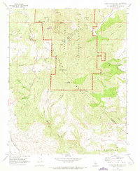
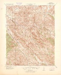
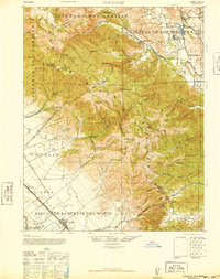
1969 Map of North Chalone Peak
USGS Topo · Published 1973About this map
Pinnacles National Monument dominates this survey, showcasing a complex of volcanic spires and steep canyons along the boundary of Monterey and San Benito Counties. The high peaks of the Gabilan Range, including North Chalone Peak and South Chalone Peak, provide a dramatic backdrop for the federal lands. The 1960s infrastructure is evident through the presence of the Visitor Center, Chaparral Campground, and the Pinnacles Air Park located just west of the park boundary.
Find a feature on this map
41 named features on this map. Tap any name to fly to it.
Don’t see what you’re looking for? This feature index may not catch every label — zoom into the map to look around manually.
Map Details
Editions of this 1969 North Chalone Peak Map
2 editions found

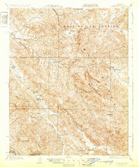
Other maps of this area

1912 · Metz
USGS Topo · 1:31,680

1915 · Soledad
USGS Topo · 1:62,500

1919 · San Benito
USGS Topo · 1:62,500
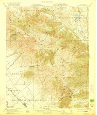
1921 · Gonzales
USGS Topo · 1:62,500

1921 · Metz
USGS Topo · 1:62,500
1931 · San Benito
USGS Topo · 1:62,500

1940 · Metz
USGS Topo · 1:62,500
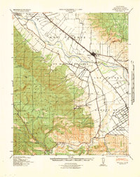
1940 · Soledad
USGS Topo · 1:62,500
1940 · San Benito
USGS Topo · 1:62,500
1940 · Gonzales
USGS Topo · 1:62,500