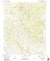
1969 Map of North Chalone Peak
USGS Topo · Published 1984About this map
Pinnacles National Monument dominates this segment of the Gabilan Range, showcasing a landscape shaped by volcanic activity and tectonic shifts along the San Benito and Monterey County border. The map documents the intricate network of canyons and peaks that define this wilderness, including the massive Machete Ridge and the volcanic spires of The Fingers. Water management and recreational infrastructure are evident through features like the Bear Gulch Reservoir and several campgrounds such as Chalone Creek Campground.
Find a feature on this map
50 named features on this map. Tap any name to fly to it.
Don’t see what you’re looking for? This feature index may not catch every label — zoom into the map to look around manually.
Map Details
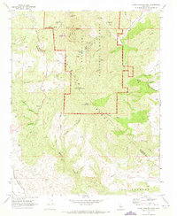
Editions of this 1969 North Chalone Peak Map
2 editions found
Other maps of this area

1912 · Metz
USGS Topo · 1:31,680

1915 · Soledad
USGS Topo · 1:62,500

1919 · San Benito
USGS Topo · 1:62,500

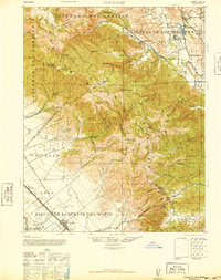
1921 · Gonzales
USGS Topo · 1:62,500

1921 · Metz
USGS Topo · 1:62,500

1931 · San Benito
USGS Topo · 1:62,500

1940 · Metz
USGS Topo · 1:62,500

1940 · Soledad
USGS Topo · 1:62,500

1940 · San Benito
USGS Topo · 1:62,500
1940 · Gonzales
USGS Topo · 1:62,500