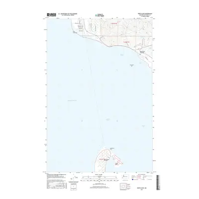
2017 Map of North Cove
USGS Topo · Published 2017About this map
Cape Shoalwater and the surrounding coastal environment of Pacific County define this map's landscape, where the shifting sands of the North Beach Peninsula meet the entrance to Willapa Bay. The small settlement of North Cove and the seaside community of Dexter by the Sea are tucked behind the protective curve of Graveyard Spit, illustrating the delicate balance of coastal habitation in a region defined by dramatic erosion and sediment movement.
Find a feature on this map
29 named features on this map. Tap any name to fly to it.
Don’t see what you’re looking for? This feature index may not catch every label — zoom into the map to look around manually.
Map Details
Editions of this 2017 North Cove Map
This is the sole edition of this map. No revisions or reprints were ever made.
Other maps of this area

1938 · Cape Shoalwater
USGS Topo · 1:62,500

1938 · South Bend
USGS Topo · 1:62,500

1940 · South Bend
USGS Topo · 1:62,500

1941 · Grayland
USGS Topo · 1:62,500

1943 · Copalis Beach
USGS Topo · 1:250,000

1951 · Copalis Beach
USGS Topo · 1:250,000

1953 · Hoquiam
USGS Topo · 1:250,000
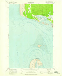
1956 · North Cove
USGS Topo · 1:24,000
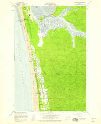
1956 · Grayland
USGS Topo · 1:24,000

1956 · Western
USGS Topo · 1:24,000