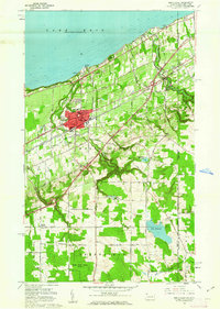
1960 Map of North East
USGS Topo · Published 1962About this map
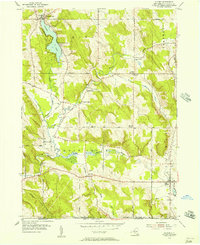
The Lake Erie shoreline and the sprawling fruit-growing district surrounding North East anchor this 1960 survey. This area is defined by a dense transportation corridor where the New York State Thruway and the New York Chicago and St Louis railroad parallel the coast. The borough of North East itself shows a developed grid featuring St Marys College, St Gregorys church, and the Heard Memorial School.
Find a feature on this map
49 named features on this map. Tap any name to fly to it.
Don’t see what you’re looking for? This feature index may not catch every label — zoom into the map to look around manually.
Map Details
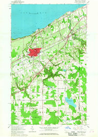
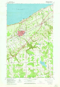
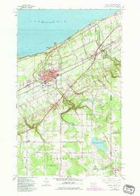
Editions of this 1960 North East Map
4 editions found
Other maps of this area

1899 · Westfield
USGS Topo · 1:62,500

1905 · Clymer
USGS Topo · 1:62,500

1913 · North East
USGS Topo · 1:62,500

1915 · North East
USGS Topo · 1:62,500

1939 · Clymer
USGS Topo · 1:62,500

1941 · Clymer
USGS Topo · 1:62,500

1943 · North East
USGS Topo · 1:62,500

1954 · South Ripley
USGS Topo · 1:24,000

1954 · Ripley
USGS Topo · 1:24,000
1954 · Clymer
USGS Topo · 1:24,000