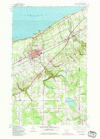
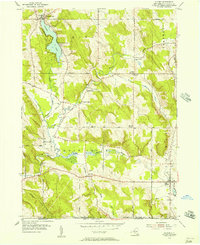
1960 Map of North East
USGS Topo · Published 1982About this map
Lake Erie defines the northern edge of this coastal landscape, where the town of North East serves as a hub for the surrounding agricultural and educational community. The presence of St Marys College and St Gregorys Sch underscores a tradition of institutional development near the shoreline. Along the lake, small settlements like Freeport and Orchard Beach mark the points where Sixteenmile Creek and other local waterways meet the beach.
Find a feature on this map
61 named features on this map. Tap any name to fly to it.
Don’t see what you’re looking for? This feature index may not catch every label — zoom into the map to look around manually.
Map Details
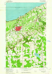
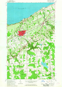
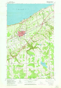
Editions of this 1960 North East Map
4 editions found
Other maps of this area

1899 · Westfield
USGS Topo · 1:62,500

1905 · Clymer
USGS Topo · 1:62,500

1913 · North East
USGS Topo · 1:62,500

1915 · North East
USGS Topo · 1:62,500

1939 · Clymer
USGS Topo · 1:62,500

1941 · Clymer
USGS Topo · 1:62,500

1943 · North East
USGS Topo · 1:62,500

1954 · South Ripley
USGS Topo · 1:24,000

1954 · Ripley
USGS Topo · 1:24,000
1954 · Clymer
USGS Topo · 1:24,000