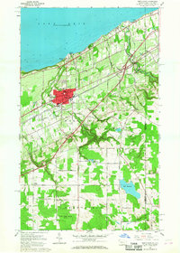
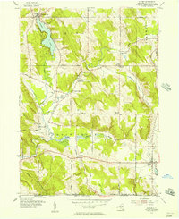
1960 Map of North East
USGS Topo · Published 1968About this map
The Lake Erie shoreline in the early 1960s serves as the northern boundary for a landscape defined by fruit agriculture and critical transportation corridors. Lake Erie meets the shore at Orchard Beach and Freeport, while the interior is dominated by the borough of North East. This hub of activity features institutions such as St Marys College and Heard Memorial Sch, flanked by the New York Central and St Louis RR and the Chicago and New York RR. South of the New York State Thruway, the terrain transitions to the uplands of Greenfield and Mina. Here, the landscape is dotted with smaller crossroads like Delhill Corners and Grahamville, while the Grahamville Reservoir and Bull Reservoir provide water management for the valley. Extensive conservation land is marked at State Game Lands No 163, preserving the character of the French Creek headwaters near the Pennsylvania-New York state line.
Find a feature on this map
68 named features on this map. Tap any name to fly to it.
Don’t see what you’re looking for? This feature index may not catch every label — zoom into the map to look around manually.
Map Details
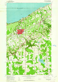
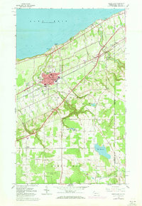
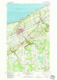
Editions of this 1960 North East Map
4 editions found
Other maps of this area

1899 · Westfield
USGS Topo · 1:62,500

1905 · Clymer
USGS Topo · 1:62,500

1913 · North East
USGS Topo · 1:62,500

1915 · North East
USGS Topo · 1:62,500

1939 · Clymer
USGS Topo · 1:62,500

1941 · Clymer
USGS Topo · 1:62,500

1943 · North East
USGS Topo · 1:62,500

1954 · South Ripley
USGS Topo · 1:24,000

1954 · Ripley
USGS Topo · 1:24,000
1954 · Clymer
USGS Topo · 1:24,000