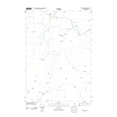
2013 Map of North Elba
USGS Topo · Published 2013About this map
The Olympic Bobsled Run at Mt Van Hoevenberg anchors this map, which details a landscape defined by winter sports infrastructure and high-mountain wilderness. In the northern reaches, leisure and athletics converge near North Elba with the Craig Wood Golf Course and the Biathlon Area near Shady Corner Curve. The map provides a precise layout of the recreational road network, including Adirondack Loj Rd and Bobsled Run Ln, which serve as gateways to the interior peaks.
Find a feature on this map
67 named features on this map. Tap any name to fly to it.
Don’t see what you’re looking for? This feature index may not catch every label — zoom into the map to look around manually.
Map Details
Editions of this 2013 North Elba Map
This is the sole edition of this map. No revisions or reprints were ever made.
Other maps of this area

1895 · Mt. Marcy
USGS Topo · 1:62,500

1896 · Lake Placid
USGS Topo · 1:62,500

1898 · Lake Placid
USGS Topo · 1:62,500

1902 · Mt. Marcy
USGS Topo · 1:62,500

1902 · Saranac
USGS Topo · 1:62,500

1904 · Saranac
USGS Topo · 1:62,500

1904 · Santanoni
USGS Topo · 1:62,500

1948 · Ogdensburg
USGS Topo · 1:250,000

1950 · Lake Champlain
USGS Topo · 1:250,000

1951 · Ogdensburg
USGS Topo · 1:250,000