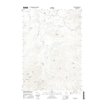
2016 Map of North Elba
USGS Topo · Published 2016About this map
North Elba serves as the gateway to this high-altitude landscape within the Adirondack Park, where the terrain is dominated by the massive peaks of the MacIntyre Mountains. The map reveals a complex network of recreational and access infrastructure, including the historic Adirondack Loj Rd leading toward Heart Lake. A notable concentration of winter sports legacy is evident near Mt Van Hoevenberg, where labels like Bobsled Run Ln and Bob Run RD indicate the area's specialized athletic heritage.
Find a feature on this map
67 named features on this map. Tap any name to fly to it.
Don’t see what you’re looking for? This feature index may not catch every label — zoom into the map to look around manually.
Map Details
Editions of this 2016 North Elba Map
This is the sole edition of this map. No revisions or reprints were ever made.
Other maps of this area

1895 · Mt. Marcy
USGS Topo · 1:62,500

1896 · Lake Placid
USGS Topo · 1:62,500

1898 · Lake Placid
USGS Topo · 1:62,500

1902 · Mt. Marcy
USGS Topo · 1:62,500

1902 · Saranac
USGS Topo · 1:62,500

1904 · Saranac
USGS Topo · 1:62,500

1904 · Santanoni
USGS Topo · 1:62,500

1948 · Ogdensburg
USGS Topo · 1:250,000

1950 · Lake Champlain
USGS Topo · 1:250,000

1951 · Ogdensburg
USGS Topo · 1:250,000