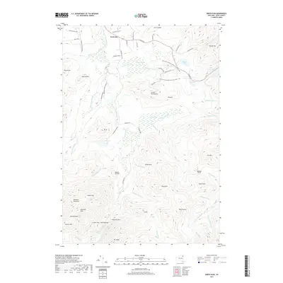
2019 Map of North Elba
USGS Topo · Published 2019About this map
North Elba serves as the gateway to this high-altitude landscape within the Adirondack Park, where modern infrastructure meets the storied paths of the Adirondack High Peaks. The convergence of Adirondack Loj Rd at Heart Lake marks a historical center for backcountry access, leading travelers toward the formidable MacIntyre Mountains and the dramatic summits of Algonquin Peak and Iroquois Peak.
Find a feature on this map
74 named features on this map. Tap any name to fly to it.
Don’t see what you’re looking for? This feature index may not catch every label — zoom into the map to look around manually.
Map Details
Editions of this 2019 North Elba Map
This is the sole edition of this map. No revisions or reprints were ever made.
Other maps of this area

1895 · Mt. Marcy
USGS Topo · 1:62,500

1896 · Lake Placid
USGS Topo · 1:62,500

1898 · Lake Placid
USGS Topo · 1:62,500

1902 · Mt. Marcy
USGS Topo · 1:62,500

1902 · Saranac
USGS Topo · 1:62,500

1904 · Saranac
USGS Topo · 1:62,500

1904 · Santanoni
USGS Topo · 1:62,500

1948 · Ogdensburg
USGS Topo · 1:250,000

1950 · Lake Champlain
USGS Topo · 1:250,000

1951 · Ogdensburg
USGS Topo · 1:250,000