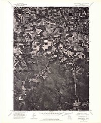
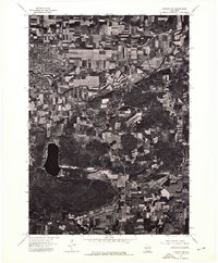
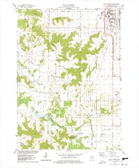
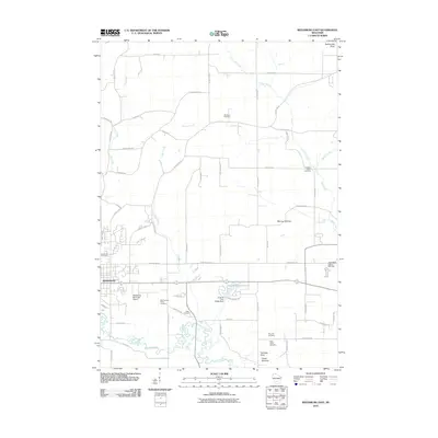
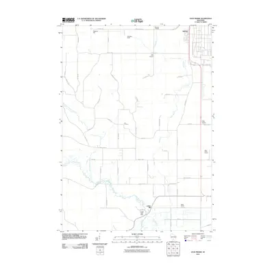
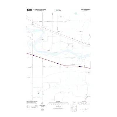
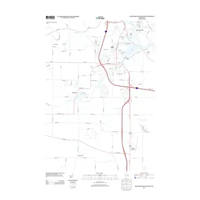
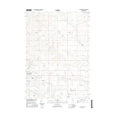
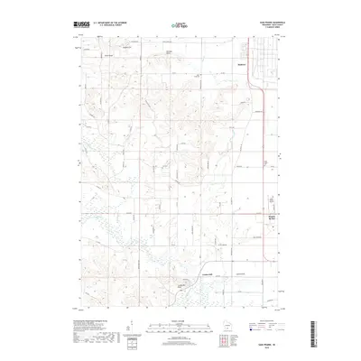
1975 Map of North Freedom NE
USGS Topo · Published 1976About this map
The meandering Baraboo River defines the upper landscape of this orthophotoquad, winding through the fertile agricultural valley of Sauk County. In the mid-1970s, this area reflects a distinct transition between the concentrated residential grids of Baraboo and West Baraboo and the surrounding farmland. The aerial perspective reveals the intricate patterns of strip-cropping and contour plowing that dominate the northern half of the sheet, contrasted against the dense, wooded hills to the south. Near the western edge, North Freedom sits as a compact rail-and-river settlement, its layout clearly visible against the organic curves of the riverbank. This document provides a raw visual record of Wisconsin's rural land-use patterns just before the expansion of modern suburban developments.
Find a feature on this map
4 named features on this map. Tap any name to fly to it.
Don’t see what you’re looking for? This feature index may not catch every label — zoom into the map to look around manually.
Map Details
Editions of this 1975 North Freedom NE Map
2 editions found
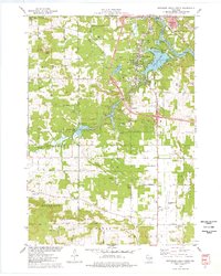
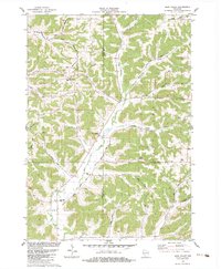
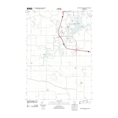
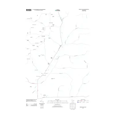
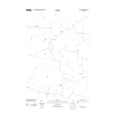
Historical Maps of Baraboo Through Time
45 maps found
1901 Denzer
Sauk County, WI
1901 The Dells
Sauk County, WI
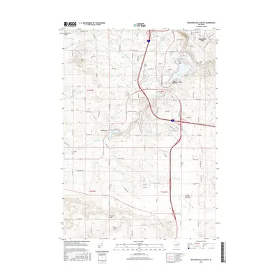
1974 Baraboo NW
Sauk County, WI
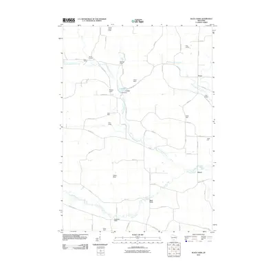
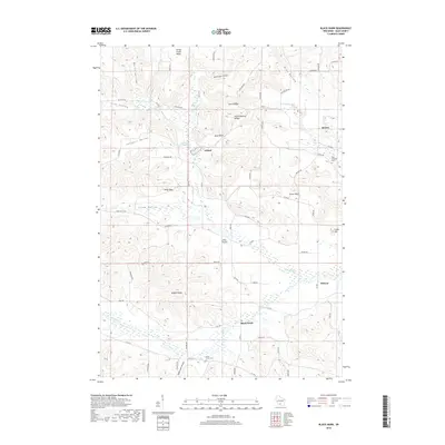
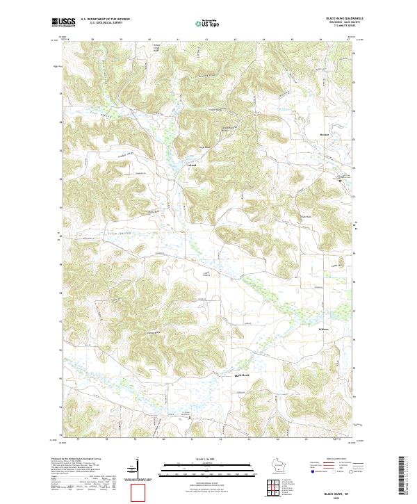
1975 Black Hawk
Sauk County, WI

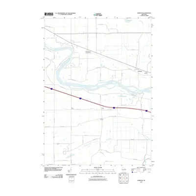
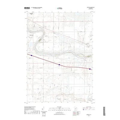
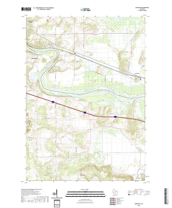
1975 Lewiston
Sauk County, WI
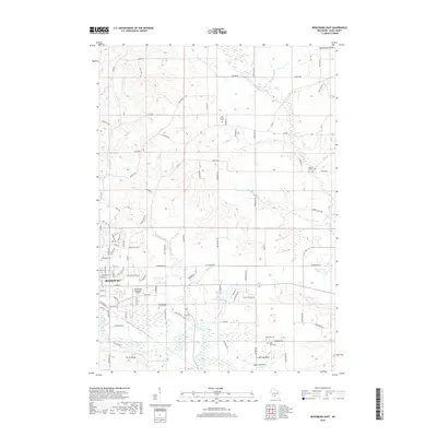
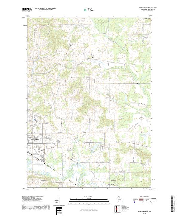
1975 Reedsburg East
Sauk County, WI
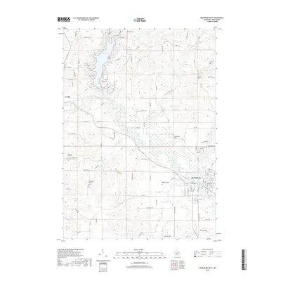
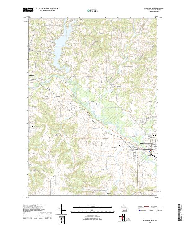
1975 Reedsburg West
Sauk County, WI
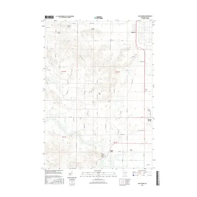
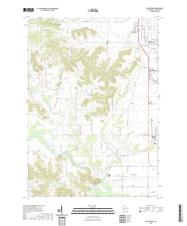
1975 Sauk Prairie
Sauk County, WI
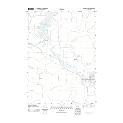
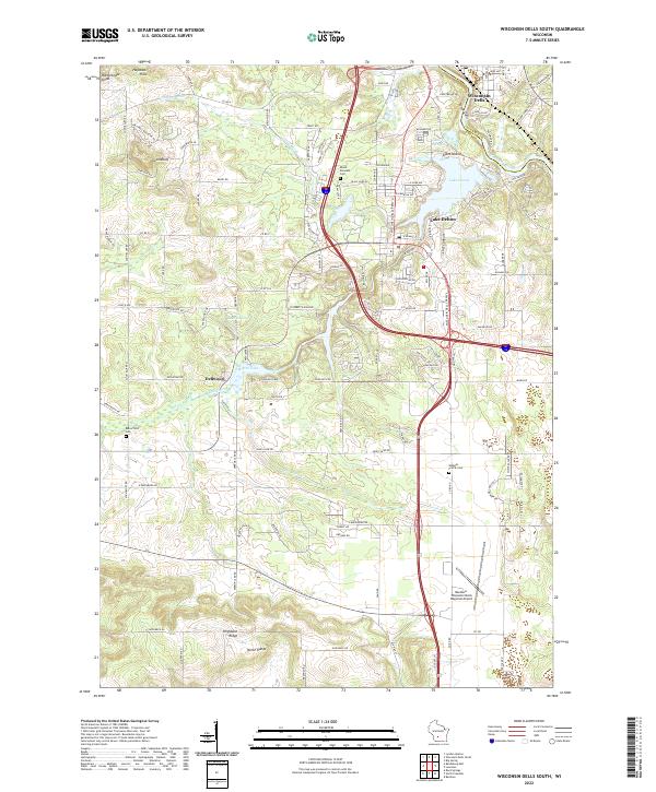
1975 Wisconsin Dells South
Sauk County, WI
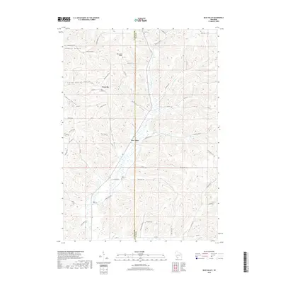
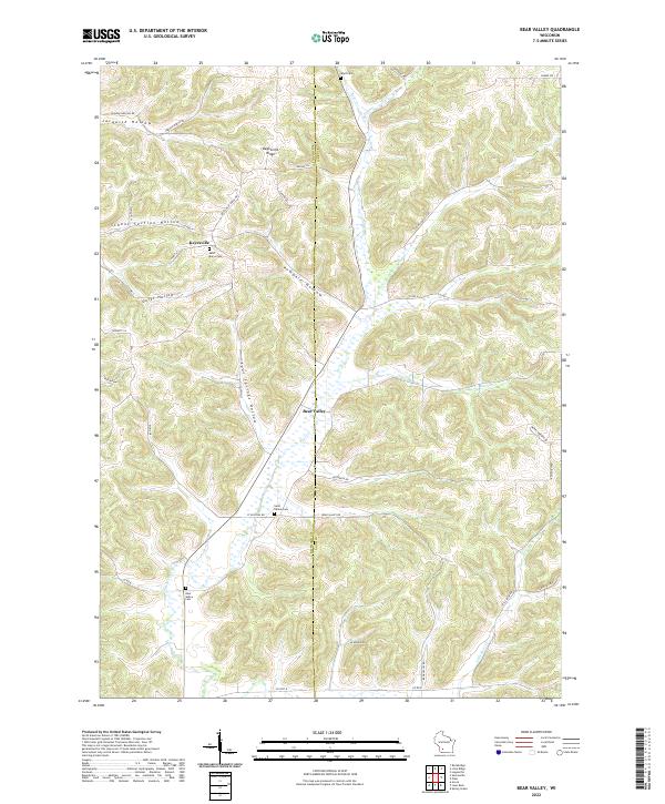
1983 Bear Valley
Sauk County, WI
2010 Bear Valley
Sauk County, WI
2010 Black Hawk
Sauk County, WI
2010 Lewiston
Sauk County, WI
2010 Reedsburg East
Sauk County, WI
2010 Reedsburg West
Sauk County, WI
2010 Sauk Prairie
Sauk County, WI
2010 Wisconsin Dells South
Sauk County, WI
2013 Bear Valley
Sauk County, WI
2013 Black Hawk
Sauk County, WI
2013 Lewiston
Sauk County, WI
2013 Reedsburg East
Sauk County, WI
2013 Reedsburg West
Sauk County, WI
2013 Sauk Prairie
Sauk County, WI
2013 Wisconsin Dells South
Sauk County, WI
2016 Bear Valley
Sauk County, WI
2016 Black Hawk
Sauk County, WI
2016 Lewiston
Sauk County, WI
2016 Reedsburg East
Sauk County, WI

2016 Reedsburg West
Sauk County, WI
2016 Sauk Prairie
Sauk County, WI
2016 Wisconsin Dells South
Sauk County, WI
2018 Bear Valley
Sauk County, WI
2018 Black Hawk
Sauk County, WI
2018 Lewiston
Sauk County, WI
2018 Reedsburg East
Sauk County, WI
2018 Reedsburg West
Sauk County, WI
2018 Sauk Prairie
Sauk County, WI

2018 Wisconsin Dells South
Sauk County, WI
2022 Bear Valley
Sauk County, WI
2022 Black Hawk
Sauk County, WI
2022 Lewiston
Sauk County, WI
2022 Reedsburg East
Sauk County, WI
2022 Reedsburg West
Sauk County, WI
2022 Sauk Prairie
Sauk County, WI
2022 Wisconsin Dells South
Sauk County, WI