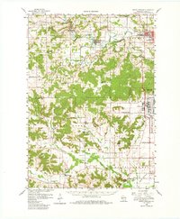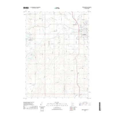
1975 Map of North Freedom
USGS Topo · Published 1978About this map
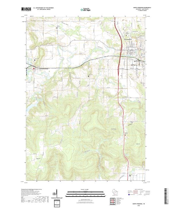
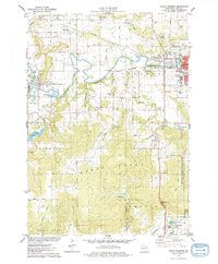
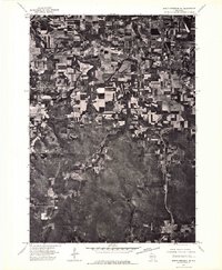
The Baraboo River carves a winding path through this mid-1970s landscape, connecting the industrial and residential centers of Baraboo, West Baraboo, and North Freedom. The southern portion of the sheet is dominated by the sprawling footprint of the Badger Army Ammunition Plant, a massive military industrial installation situated just west of the Devils Lake State Park (Ice Age National Scientific Reserve). This juxtaposition of heavy industry and protected wilderness defines the region's character, with the South Range and North Range providing significant topographical relief.
Find a feature on this map
51 named features on this map. Tap any name to fly to it.
Don’t see what you’re looking for? This feature index may not catch every label — zoom into the map to look around manually.
Map Details
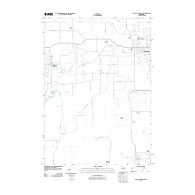
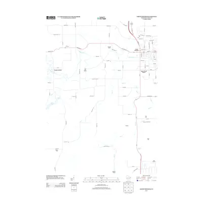
Editions of this 1975 North Freedom Map
2 editions found
Historical Maps of Baraboo Through Time
7 maps found