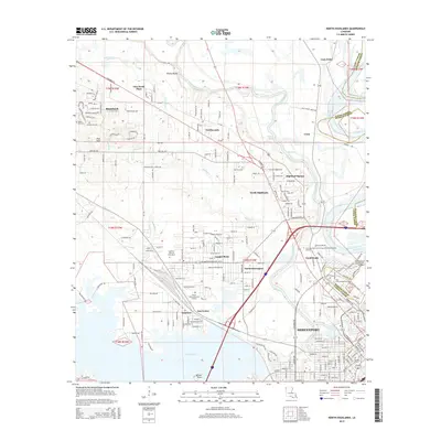
2015 Map of North Highlands
USGS Topo · Published 2015About this map
Twelvemile Bayou and the Red River converge north of Shreveport in this mid-2010s survey, documenting a landscape where urban expansion meets the meandering waterways of Caddo Parish. The map reveals the intricate network of suburban communities such as North Highlands, Cooper Road, and Lakeview that surround the city core. These residential areas are interspersed with educational and historical sites, including Southern Univ at Shreveport and the venerable Oakland Cem downtown.
Find a feature on this map
111 named features on this map. Tap any name to fly to it.
Don’t see what you’re looking for? This feature index may not catch every label — zoom into the map to look around manually.
Map Details
Editions of this 2015 North Highlands Map
This is the sole edition of this map. No revisions or reprints were ever made.
Other maps of this area

1932 · Bossier SW
USGS Topo · 1:31,680

1932 · Shreveport SE
USGS Topo · 1:31,680

1932 · Bossier NW
USGS Topo · 1:31,680

1932 · Shreveport NE
USGS Topo · 1:31,680

1941 · Forbing
USGS Topo · 1:31,680

1945 · Greenwood
USGS Topo · 1:62,500

1948 · Mooringsport
USGS Topo · 1:62,500

1948 · Bossier City
USGS Topo · 1:62,500

1948 · Caspiana
USGS Topo · 1:62,500

1955 · Shreveport
USGS Topo · 1:250,000