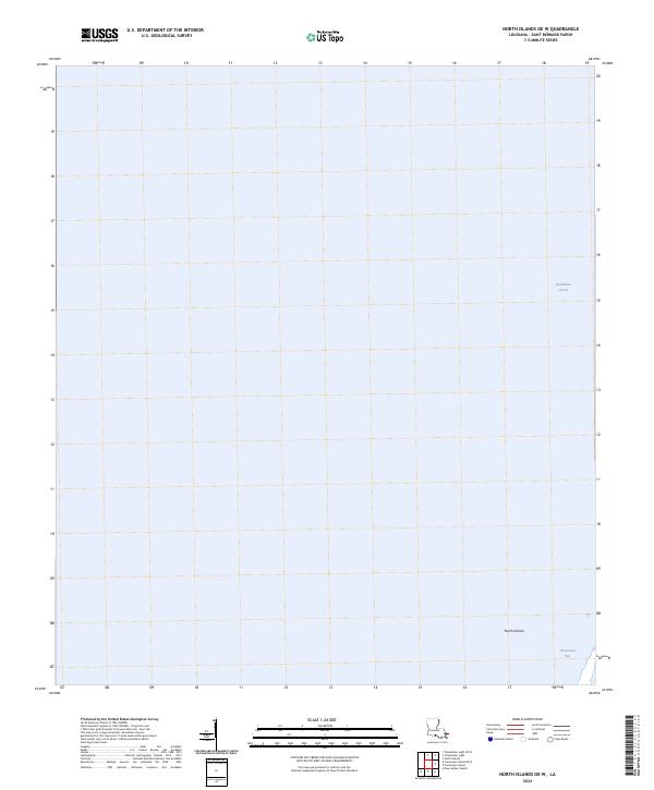
2024 Map of North Islands OE W
USGS Topo · Published 2024About this map
Breton National Wildlife Refuge encompasses the shifting coastal geography of Saint Bernard Parish, where the gulf waters meet the fragmented shoreline of the North Islands. This area is defined by the shallow, open expanse of the Chandeleur Sound, an environment where land and water exist in a state of constant flux. The lack of contour lines on this sheet reflects the low-lying, unstable nature of these barrier islands, which serve as a critical buffer between the open sea and the inner Louisiana coastline. Maritime history and coastal preservation are the primary focus here, with Shoalwater Bay providing a sheltered pocket within the larger island chain. The map documents the persistent but fragile presence of this wilderness area in the face of ongoing coastal erosion.
Find a feature on this map
4 named features on this map. Tap any name to fly to it.
Don’t see what you’re looking for? This feature index may not catch every label — zoom into the map to look around manually.
Map Details
Editions of this 2024 North Islands OE W Map
This is the sole edition of this map. No revisions or reprints were ever made.
Other maps of this area

1893 · Cat Island
USGS Topo · 1:62,500

1893 · Chandeleur
USGS Topo · 1:62,500

1951 · North Islands
USGS Topo · 1:24,000

1951 · New Harbor Islands
USGS Topo · 1:24,000
1951 · Freemason Island
USGS Topo · 1:24,000

1951 · Chandeleur Light
USGS Topo · 1:24,000

1953 · Mobile
USGS Topo · 1:250,000

1957 · Mobile
USGS Topo · 1:250,000

1957 · Breton Sound
USGS Topo · 1:250,000

1960 · Mobile
USGS Topo · 1:250,000