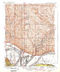
1940 Map of North Kansas City
USGS Topo · Published 1940About this map
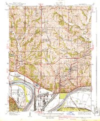
North Kansas City and the surrounding river bottomlands are captured here in the mid-1930s, showing a landscape defined by heavy industry and critical infrastructure. The Missouri River forms a sharp bend around Goose Island, separating the Missouri industrial zones from the Quindaro district and Fairfax Airport in Kansas. To the north, the terrain transitions into the residential and agricultural uplands of Gallatin, dotted with small communities like Gashland, Linden, and Avondale.
Find a feature on this map
71 named features on this map. Tap any name to fly to it.
Don’t see what you’re looking for? This feature index may not catch every label — zoom into the map to look around manually.
Map Details
Editions of this 1940 North Kansas City Map
2 editions found
Other maps of this area

1890 · Kansas City
USGS Topo · 1:125,000

1894 · Kansas City
USGS Topo · 1:125,000

1894 · Independence
USGS Topo · 1:125,000

1914 · Smithville
USGS Topo · 1:62,500

1934 · Independence
USGS Topo · 1:24,000

1934 · Shawnee
USGS Topo · 1:24,000

1935 · Kansas City
USGS Topo · 1:24,000

1935 · North Kansas City
USGS Topo · 1:24,000

1935 · Liberty
USGS Topo · 1:24,000

1936 · Kearney
USGS Topo · 1:48,000