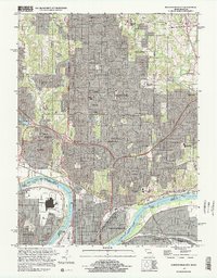
1997 Map of North Kansas City
USGS Topo · Published 1999About this map
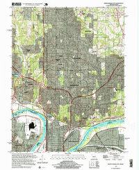
The Missouri River bends sharply through this 1990s industrial and suburban landscape, forming the critical boundary between Kansas City, North Kansas City, and surrounding municipalities. This era shows the dense development of the Northland, where established communities like Gladstone and Riverside are woven together by a complex network of corporate boundaries and residential enclaves such as Oaks and Oakwood Park. The southern portion of the map is dominated by the massive infrastructure of the Kansas City Downtown Airport and the Kansas City Waterworks, situated on the river's flood plain protected by a system of levees.
Find a feature on this map
50 named features on this map. Tap any name to fly to it.
Don’t see what you’re looking for? This feature index may not catch every label — zoom into the map to look around manually.
Map Details
Editions of this 1997 North Kansas City Map
2 editions found
Other maps of this area

1890 · Kansas City
USGS Topo · 1:125,000

1894 · Kansas City
USGS Topo · 1:125,000

1894 · Independence
USGS Topo · 1:125,000

1914 · Smithville
USGS Topo · 1:62,500

1934 · Independence
USGS Topo · 1:24,000

1934 · Shawnee
USGS Topo · 1:24,000

1935 · Kansas City
USGS Topo · 1:24,000

1935 · North Kansas City
USGS Topo · 1:24,000

1935 · Liberty
USGS Topo · 1:24,000

1936 · Kearney
USGS Topo · 1:48,000