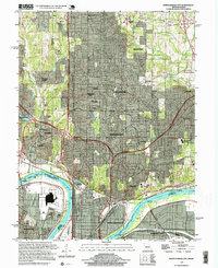
1997 Map of North Kansas City
USGS Topo · Published 1999About this map
The Missouri River and Kansas River define the industrial and transport heart of this late-20th-century landscape, where the North Kansas City corporate boundary meets a complex network of levees and bridges. The map reveals a densely developed corridor stretching from the Kansas City Downtown Airport north through Gladstone and Gashland. This area is characterized by a mix of established residential pockets like Oakwood Park and Winnwood Gardens alongside major infrastructure such as the Fairfax Bridge and the Chouteau Bridge. Genealogists will find significant value in the numerous burial grounds documented, including Barry Cem, White Chapel Mem Gardens, and the Oak Grove Cem. Cultural and natural landmarks such as Maple Woods Community College and the Maple Woods State Conservation Area provide clear reference points within the expanding suburban fabric of Clay County.
Find a feature on this map
51 named features on this map. Tap any name to fly to it.
Don’t see what you’re looking for? This feature index may not catch every label — zoom into the map to look around manually.
Map Details
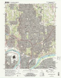
Editions of this 1997 North Kansas City Map
2 editions found
Other maps of this area

1890 · Kansas City
USGS Topo · 1:125,000

1894 · Kansas City
USGS Topo · 1:125,000

1894 · Independence
USGS Topo · 1:125,000

1914 · Smithville
USGS Topo · 1:62,500

1934 · Independence
USGS Topo · 1:24,000

1934 · Shawnee
USGS Topo · 1:24,000

1935 · Kansas City
USGS Topo · 1:24,000

1935 · North Kansas City
USGS Topo · 1:24,000

1935 · Liberty
USGS Topo · 1:24,000

1936 · Kearney
USGS Topo · 1:48,000