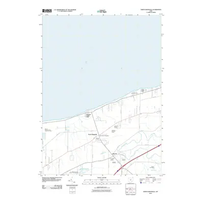
2010 Map of North Kingsville
USGS Topo · Published 2010About this map
Kingsville On-the-Lake and North Kingsville anchor this coastal survey of Ashtabula County, where the southern shore of Lake Erie meets a landscape defined by small-town infrastructure and winding waterways. The map documents a cluster of significant burial grounds, including the Old Kingsville Corners Cemetery and Greenlawn Memory Gardens, which serve as vital touchstones for genealogical research in the area. Further south, the community of Kingsville sits near the banks of Conneaut Creek, a prominent waterway that meanders through the eastern portion of the quadrangle.
Find a feature on this map
37 named features on this map. Tap any name to fly to it.
Don’t see what you’re looking for? This feature index may not catch every label — zoom into the map to look around manually.
Map Details
Editions of this 2010 North Kingsville Map
This is the sole edition of this map. No revisions or reprints were ever made.
Other maps of this area

1905 · Ashtabula
USGS Topo · 1:62,500

1906 · Conneaut
USGS Topo · 1:62,500

1950 · Cleveland
USGS Topo · 1:250,000

1950 · Erie
USGS Topo · 1:250,000

1956 · Cleveland
USGS Topo · 1:250,000

1959 · Erie
USGS Topo · 1:250,000
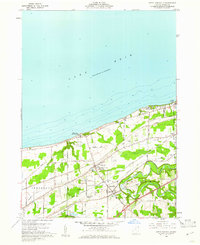
1960 · North Kingsville
USGS Topo · 1:24,000
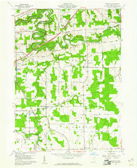
1960 · Gageville
USGS Topo · 1:24,000

1960 · Ashtabula South
USGS Topo · 1:24,000
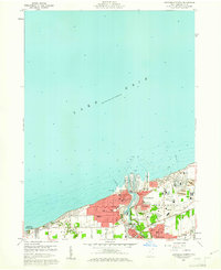
1960 · Ashtabula North
USGS Topo · 1:24,000