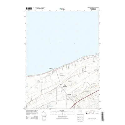
2013 Map of North Kingsville
USGS Topo · Published 2013About this map
Lake Erie defines the northern edge of this Ashtabula County landscape, where the shoreline is lined with residential developments and seasonal retreats. The community of Kingsville On-the-Lake sits directly on the coast, while the larger village of North Kingsville and the settlement of Kingsville are situated further inland along a network of established corridors like W Center St and S Ridge Rd. The area is notably dense with memorial sites, including Old Kingsville Corners Cem and the expansive Greenlawn Memory Gardens. South of the village centers, the terrain transitions into more open land marked by Meadowlake Farm and the winding course of Conneaut Creek, which cuts through the southeastern corner of the quadrangle near Amboy. This 2013 survey illustrates the modern layout of these lakeside communities and their connection to the rural interior.
Find a feature on this map
65 named features on this map. Tap any name to fly to it.
Don’t see what you’re looking for? This feature index may not catch every label — zoom into the map to look around manually.
Map Details
Editions of this 2013 North Kingsville Map
This is the sole edition of this map. No revisions or reprints were ever made.
Other maps of this area

1905 · Ashtabula
USGS Topo · 1:62,500

1906 · Conneaut
USGS Topo · 1:62,500

1950 · Cleveland
USGS Topo · 1:250,000

1950 · Erie
USGS Topo · 1:250,000

1956 · Cleveland
USGS Topo · 1:250,000

1959 · Erie
USGS Topo · 1:250,000
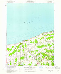
1960 · North Kingsville
USGS Topo · 1:24,000
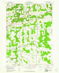
1960 · Gageville
USGS Topo · 1:24,000

1960 · Ashtabula South
USGS Topo · 1:24,000
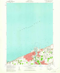
1960 · Ashtabula North
USGS Topo · 1:24,000