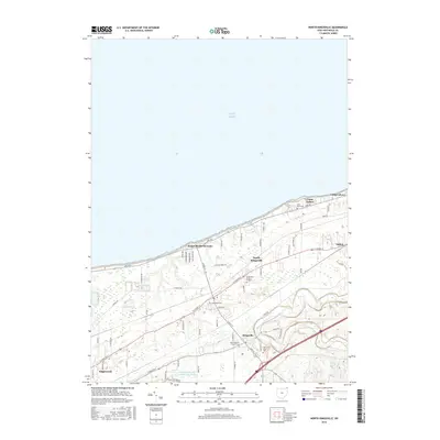
2016 Map of North Kingsville
USGS Topo · Published 2016About this map
Lake Erie defines the northern extent of this Ashtabula County landscape, where the shoreline is lined with residential developments and seasonal retreats. The transition from the lakefront at Kingsville On-the-Lake to the inland agricultural and wooded areas shows a classic Great Lakes settlement pattern. Several significant burial grounds, including Greenlawn Memory Gardens and the Old Kingsville Corners Cem, provide essential data points for local genealogists. Further south, the meandering path of Conneaut Creek cuts through the terrain near the settlement of Kingsville. The area's community character is further evidenced by recreational and religious sites such as Camp Luther and Camp Calvary, while the presence of Amboy and Edgewood highlights the clusters of historical development along the main transport corridors like W Center St and S Ridge Rd.
Find a feature on this map
29 named features on this map. Tap any name to fly to it.
Don’t see what you’re looking for? This feature index may not catch every label — zoom into the map to look around manually.
Map Details
Editions of this 2016 North Kingsville Map
This is the sole edition of this map. No revisions or reprints were ever made.
Other maps of this area

1905 · Ashtabula
USGS Topo · 1:62,500

1906 · Conneaut
USGS Topo · 1:62,500

1950 · Cleveland
USGS Topo · 1:250,000

1950 · Erie
USGS Topo · 1:250,000

1956 · Cleveland
USGS Topo · 1:250,000

1959 · Erie
USGS Topo · 1:250,000
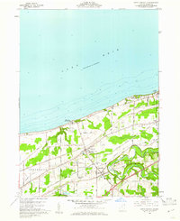
1960 · North Kingsville
USGS Topo · 1:24,000
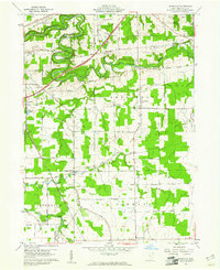
1960 · Gageville
USGS Topo · 1:24,000

1960 · Ashtabula South
USGS Topo · 1:24,000
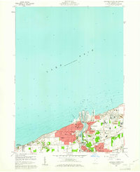
1960 · Ashtabula North
USGS Topo · 1:24,000