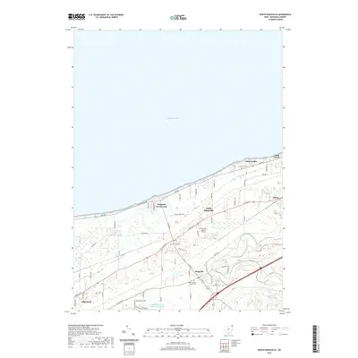
2019 Map of North Kingsville
USGS Topo · Published 2019About this map
Lake Erie defines the northern reaches of this coastal landscape, where the shoreline is home to recreational retreats like Camp Luther and Camp Calvary. The settlement pattern follows the historic ridge lines, with Kingsville On-the-Lake and North Kingsville situated along the terrace above the lake, while the village of Kingsville sits further inland near the winding banks of Conneaut Creek. This geography created a distinct corridor for transportation and community life, anchored by several local burying grounds including Lake Road Cem and the Old Kingsville Corners Cem. To the east, the small community of Amboy sits near the crossing of major thoroughfares, while the southern portion of the area features the Ashtabula County Outdoor Club Lake, illustrating a mix of residential growth and preserved outdoor space characteristic of the Ashtabula County coastline.
Find a feature on this map
64 named features on this map. Tap any name to fly to it.
Don’t see what you’re looking for? This feature index may not catch every label — zoom into the map to look around manually.
Map Details
Editions of this 2019 North Kingsville Map
This is the sole edition of this map. No revisions or reprints were ever made.
Other maps of this area

1905 · Ashtabula
USGS Topo · 1:62,500

1906 · Conneaut
USGS Topo · 1:62,500

1950 · Cleveland
USGS Topo · 1:250,000

1950 · Erie
USGS Topo · 1:250,000

1956 · Cleveland
USGS Topo · 1:250,000

1959 · Erie
USGS Topo · 1:250,000
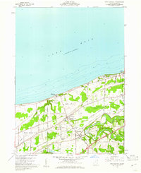
1960 · North Kingsville
USGS Topo · 1:24,000
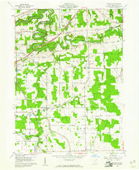
1960 · Gageville
USGS Topo · 1:24,000

1960 · Ashtabula South
USGS Topo · 1:24,000
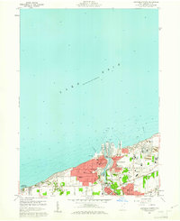
1960 · Ashtabula North
USGS Topo · 1:24,000