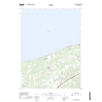
2023 Map of North Kingsville
USGS Topo · Published 2023About this map
Lake Erie defines the northern extent of this landscape, where residential developments like Kingsville On-the-Lake transition into the interior settlements of North Kingsville and Kingsville. The terrain is shaped by the winding path of Conneaut Creek as it cuts through the southeastern corner, while smaller water bodies like Davis Pond and the Ashtabula County Outdoor Club Lake dot the local topography. This coastal area of Ashtabula County demonstrates a clear shift from lakeshore activity to a more rural, grid-based road network established along historic routes.
Find a feature on this map
26 named features on this map. Tap any name to fly to it.
Don’t see what you’re looking for? This feature index may not catch every label — zoom into the map to look around manually.
Map Details
Editions of this 2023 North Kingsville Map
This is the sole edition of this map. No revisions or reprints were ever made.
Other maps of this area

1905 · Ashtabula
USGS Topo · 1:62,500

1906 · Conneaut
USGS Topo · 1:62,500

1950 · Cleveland
USGS Topo · 1:250,000

1950 · Erie
USGS Topo · 1:250,000

1956 · Cleveland
USGS Topo · 1:250,000

1959 · Erie
USGS Topo · 1:250,000
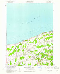
1960 · North Kingsville
USGS Topo · 1:24,000
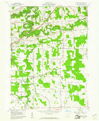
1960 · Gageville
USGS Topo · 1:24,000

1960 · Ashtabula South
USGS Topo · 1:24,000
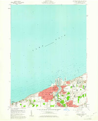
1960 · Ashtabula North
USGS Topo · 1:24,000