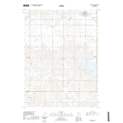
2017 Map of North Loup
USGS Topo · Published 2017About this map
North Loup serves as the primary hub of this Central Nebraska landscape, where the grid of rural roads meets the winding path of the North Loup River valley. The village itself is intricately mapped, showing the transition from town lots to the expansive agricultural sections that define Valley County. Water management is a central theme of the terrain, visible through the engineered Ord-North Loup Canal which cuts across the drainage of Mira Cr. This irrigation infrastructure illustrates the region's long-standing reliance on diverted water to support its farming economy. The map also traces the natural hydrology of the uplands, including the N Br Mira Cr and S Br Mira Cr, which carve through the loess hills as they flow toward the main valley floor.
Find a feature on this map
5 named features on this map. Tap any name to fly to it.
Don’t see what you’re looking for? This feature index may not catch every label — zoom into the map to look around manually.
Map Details
Editions of this 2017 North Loup Map
This is the sole edition of this map. No revisions or reprints were ever made.
Other maps of this area

1899 · Loup
USGS Topo · 1:125,000

1953 · Loup City NW
USGS Topo · 1:24,000

1953 · Cotesfield
USGS Topo · 1:24,000

1953 · North Loup
USGS Topo · 1:24,000

1953 · Scotia
USGS Topo · 1:24,000

1953 · Loup City SE
USGS Topo · 1:24,000

1953 · Loup City
USGS Topo · 1:24,000

1954 · Ord SE
USGS Topo · 1:24,000

1954 · Ord
USGS Topo · 1:24,000

1954 · Horace
USGS Topo · 1:24,000