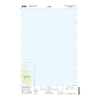
2017 Map of North Manitou Island OE NE
USGS Topo · Published 2017About this map
North Manitou Island occupies the southwestern corner of this coastal survey, where the land rises sharply from the shoreline of Lake Michigan. This portion of the island is protected as part of the Sleeping Bear Dunes National Lakeshore, reflecting the preservation of its diverse dune and forest environments. The map shows the topography of the island's interior, including the elevation gains inland from the beach. While the majority of the sheet is dominated by the open waters of Lake Michigan, the detailed contour lines on the island provide a clear record of the coastal terrain as it existed in 2017. This area represents a critical portion of the northern Lake Michigan archipelago, documenting the physical boundaries of the national lakeshore.
Find a feature on this map
3 named features on this map. Tap any name to fly to it.
Don’t see what you’re looking for? This feature index may not catch every label — zoom into the map to look around manually.
Map Details
Editions of this 2017 North Manitou Island OE NE Map
This is the sole edition of this map. No revisions or reprints were ever made.
Other maps of this area

1954 · Escanaba
USGS Topo · 1:250,000

1955 · Cheboygan
USGS Topo · 1:250,000

1956 · North Manitou
USGS Topo · 1:62,500

1956 · South Fox Island
USGS Topo · 1:62,500

1957 · Escanaba
USGS Topo · 1:250,000

1958 · Escanaba
USGS Topo · 1:250,000

1958 · Cheboygan
USGS Topo · 1:250,000
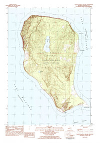
1983 · North Manitou Island
USGS Topo · 1:25,000
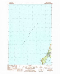
1983 · Leland
USGS Topo · 1:25,000

1984 · Washington Island
USGS Topo · 1:100,000