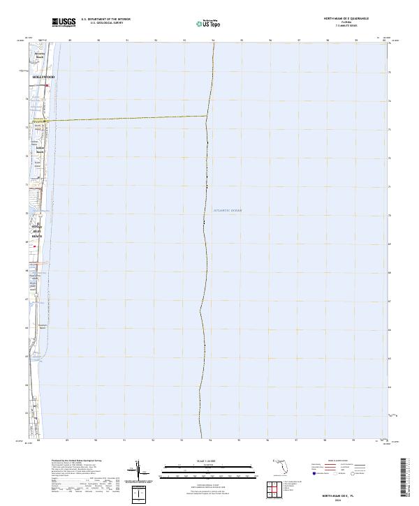
2024 Map of North Miami OE E
USGS Topo · Published 2024About this map
Biscayne Bay and the Atlantic coastline define this contemporary survey of the narrow barrier islands between Hollywood and the northern reaches of Miami. The landscape is a dense network of residential islands and waterways, including Golden Isles Lake, North Island, and Poincianna Island. The vital Intracoastal Waterway threads behind the beach communities of Golden Beach and Sunny Isles Beach, providing a sheltered passage parallel to the ocean.
Find a feature on this map
32 named features on this map. Tap any name to fly to it.
Don’t see what you’re looking for? This feature index may not catch every label — zoom into the map to look around manually.
Map Details
Editions of this 2024 North Miami OE E Map
This is the sole edition of this map. No revisions or reprints were ever made.
Other maps of this area

1947 · North Miami
USGS Topo · 1:24,000

1949 · Port Everglades
USGS Topo · 1:24,000

1949 · Fort Lauderdale South
USGS Topo · 1:24,000

1950 · Miami
USGS Topo · 1:24,000

1950 · North Miami
USGS Topo · 1:24,000

1956 · Miami
USGS Topo · 1:250,000

1956 · West Palm Beach
USGS Topo · 1:250,000

1957 · West Palm Beach
USGS Topo · 1:250,000

1958 · West Palm Beach
USGS Topo · 1:250,000

1958 · Miami
USGS Topo · 1:250,000