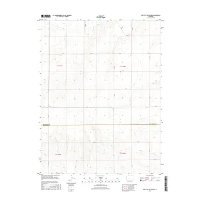
2016 Map of North of Big Spring
USGS Topo · Published 2016About this map
The Kit Carson and Cheyenne County line divides this high plains landscape, where the headwaters of the Smoky Hill River system begin to take shape. The terrain is defined by a dendritic network of seasonal drainages, including the N Fork Smoky Hill River and the various branches of Big Spring Creek. Grounded in a rigid section-line road grid, the area features numerous local routes such as Co RD 16 and Co RD F that navigate the subtle changes in elevation. This 2016 survey illustrates the persistent agricultural layout of the region, showing how the land is partitioned into Townships like t11s r48w and t12s r49w. The map is an essential reference for understanding the modern hydrology and infrastructure of these eastern Colorado plains.
Find a feature on this map
23 named features on this map. Tap any name to fly to it.
Don’t see what you’re looking for? This feature index may not catch every label — zoom into the map to look around manually.
Map Details
Editions of this 2016 North of Big Spring Map
This is the sole edition of this map. No revisions or reprints were ever made.
Other maps of this area
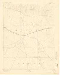
1891 · Kit Carson
USGS Topo · 1:125,000
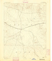
1893 · Kit Carson
USGS Topo · 1:125,000

1954 · Limon
USGS Topo · 1:250,000

1954 · Lamar
USGS Topo · 1:250,000

1957 · Limon
USGS Topo · 1:250,000

1958 · Limon
USGS Topo · 1:250,000

1958 · Lamar
USGS Topo · 1:250,000
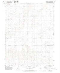
1979 · Stratton 3 SE
USGS Topo · 1:24,000
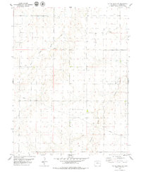
1979 · Alpine Ranch NW
USGS Topo · 1:24,000
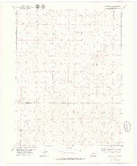
1979 · Stratton 3 SW
USGS Topo · 1:24,000