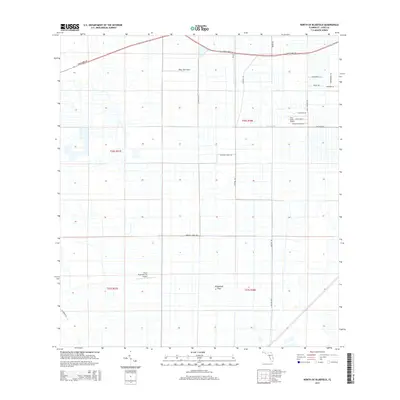
2015 Map of North of Bluefield
USGS Topo · Published 2015About this map
Allapattah Flats dominates this portion of Saint Lucie County, reflecting a landscape shaped by water management and aviation. The area is characterized by an extensive network of drainage features, including the prominent Rim Ditch and the long east-west routes of Germany Canal Rd and C-24 Canal Rd. These engineering works transformed the low-lying terrain into usable land for ranching, citrus, and private airstrips.
Find a feature on this map
24 named features on this map. Tap any name to fly to it.
Don’t see what you’re looking for? This feature index may not catch every label — zoom into the map to look around manually.
Map Details
Editions of this 2015 North of Bluefield Map
This is the sole edition of this map. No revisions or reprints were ever made.
Other maps of this area

1949 · Fort Pierce NW
USGS Topo · 1:24,000

1950 · Fort Pierce NW
USGS Topo · 1:24,000

1953 · Okeechobee 1 SE
USGS Topo · 1:24,000

1953 · Okeechobee 4 NE
USGS Topo · 1:24,000

1953 · Okeechobee 4 NW
USGS Topo · 1:24,000

1953 · Okeechobee 1 SW
USGS Topo · 1:24,000

1953 · Indian Town NW
USGS Topo · 1:24,000

1953 · Okeechobee 1 NE
USGS Topo · 1:24,000

1953 · Okeechobee 1 NW
USGS Topo · 1:24,000

1953 · Fort Pierce SW
USGS Topo · 1:24,000